GRN grid region: N21W65
A grid 'square' of approximately 160km x 160km, part of the Global Reference Network of 19,833 grid cells covering the Earth.

Northeast Corner:
31 30'0'' N , 104 47'16'' W ( 31.5,-104.788 )
Southwest Corner:
30 0'0'' N , 106 25'37'' W ( 30,-106.427 )
Select Mineral List Type
Standard Detailed Gallery Strunz Chemical ElementsCommodity List
This is a list of exploitable or exploited mineral commodities recorded at this locality.Mineral List
158 valid minerals.
Rock Types Recorded
Note: data is currently VERY limited. Please bear with us while we work towards adding this information!
Select Rock List Type
Alphabetical List Tree DiagramLocalities within grid area
- Chihuahua
- Ahumada Municipality
- Guadalupe Municipality
- Texas
- Culberson County
- ⭔Apache Peak area
- Sierra Diablo
- Tumbledown Mine
- Unnamed occurrence (MA-CU-J15-4)
- Unnamed Prospect (MRDS 10085769)
- Unnamed Prospect (MRDS 10085770)
- Unnamed Prospect (MRDS 10096726)
- Unnamed Prospect (MRDS 10096729)
- Van Horn-Allamoore Mining District
- Van Horn
- Van Horn Mountains
- El Paso County
- Hudspeth County
- Allamoore Talc Mining District
- Bill quarry
- Bobcat mine
- Buck mine
- Buck Springs quarry
- Car Body quarry
- Dal claims
- Dees quarry
- Diablo East mine
- Diablo West mine
- Escondido mine
- Garren Ranch Quarry
- Gregory prospect
- Lost Cow Quarry
- Neal Mann prospect
- Pink Chips mine
- Pioneer Talc Operation
- Rex quarry
- Snow White mine
- Southwest Claims (Cyprus Mines Corp. Quarry)
- T & P Number 1 Quarries
- Texas Talc (Loyce) mine - 1
- Texas Talc (Loyce) mine - 2
- Texola quarries
- Tumbledown Mountain mine
- Unnamed prospect (VH-HU-G14-12)
- Unnamed prospect (VH-HU-G14-18)
- Unnamed prospect (VH-HU-G14-19)
- Unnamed prospect (VH-HU-G14-20)
- Unnamed prospect (VH-HU-H14-5)
- Unnamed prospects (VH-HU-G14-15)
- Unnamed prospects (VH-HU-G14-3)
- Unnamed prospects (VH-HU-G14-7)
- Unnamed prospects (VH-HU-H14-4)
- Unnamed prospects (VH-HU-H15-28)
- Unnamed quarries (VH-HU-G14-8)
- Unnamed quarry (VH-HU-G14-5)
- Unnamed quarry (VH-HU-H14-3)
- Unnamed quarry (VH-HU-H15-22)
- Westex (Eagle Flat) mine
- Wilco mine
- Windmill prospect
- Carizzo Mountains
- Corudas Mountains
- Eagle Flat
- Allamoore Talc Mining District
- Culberson County
- Texas
- Hudspeth County
- Eagle Mountains
- Black Hill Mine (Dick Love Mine)
- Cowan Ranch Wind Canyon Mine
- Divide prospect
- Eagle Spring Mine
- Fox No. 4 prospect
- Fox Nos. 1 and 3 prospects
- Fox Nos. 9 and 10 prospects
- Ingram prospect
- Lucky Strike prospect (Section 26 prospect)
- Rocky Ridge prospects
- Section 27 prospect
- Section 45 prospect
- Silver Eagle Mine
- Snowline Canyon prospects
- Spar Valley Mine
- Syphon Canyon prospects (Marine Ranch prospects)
- Tank Canyon prospects
- Unnamed mine (MA-HU-I14-2)
- Unnamed prospect (MA-HU-I14-1)
- Unnamed prospect (MA-HU-I14-3)
- Finley Mountains
- Hueco Mountains
- Indio Mountains
- Mica Mine
- Quitman Mountains
- Alice Ray Mine
- Bona prospect
- Bonanza Mine
- Cowan Ranch fluorite locality
- Granite Hill prospect
- Love Pass veins
- Love Pasture prospects
- Love Tank prospects (Thunderbolt prospect)
- Milby Peak vein (MP-1)
- Milby Peak vein (MP-2)
- Nickel Plate prospect
- Queen Anne prospect
- Quitman Gap veins (QG-1 and 2)
- Quitman Mts - North end
- Red Chief vein (QG-3)
- Silver King Mine (Big Gulch Mine)
- Stokes prospect
- Tarantula Hills prospects (Hunter Mine; Rather prospect)
- Tremble Hill prospect
- Unnamed locality (VH-HU-G10-6)
- Zimpleman Pass prospects
- Sierra Blanca
- Sierra Blanca Peaks
- Unnamed prospect (VN-HU-G10-7)
- Van Horn-Allamoore Mining District
- Van Horn Mountains
- Eagle Mountains
- Presidio County
- Hudspeth County


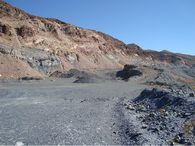
Hazel mine, Van Horn-Allamoore Mining District, Culberson County, Texas, USA