GRN grid region: N32E11
A grid 'square' of approximately 160km x 160km, part of the Global Reference Network of 19,833 grid cells covering the Earth.


Northeast Corner:
48 0'0'' N , 22 23'6'' E ( 48,22.385 )
Southwest Corner:
46 30'0'' N , 20 21'0'' E ( 46.5,20.35 )
Climate:
Select Mineral List Type
Standard Detailed Gallery Strunz Chemical ElementsCommodity List
This is a list of exploitable or exploited mineral commodities recorded at this locality.Mineral List
82 valid minerals.
Rock Types Recorded
Note: data is currently VERY limited. Please bear with us while we work towards adding this information!
Select Rock List Type
Alphabetical List Tree DiagramLocalities within grid area
- Borsod-Abaúj-Zemplén County
- Mezőkövesd District
- Hajdú-Bihar County
- Heves County
- Eger District
- Felnémet
- Felsőtárkány
- Eger District
- Heves County
- Eger District
- Szabolcs-Szatmár-Bereg County
- Bihor County
- Bihor Mountains
- ⭔Budureasa-Pietroasa area
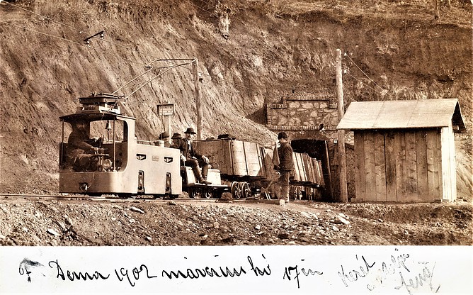
- Derna
- Highiş Massif
- Măgureaua Vaței intrusion
- Oradea
- Pădurea Craiului Mountains
- ⭔Valea Seacă


Derna, Bihor County, Romania