| Locality | Latitude | Longitude | Distance | Bearing |
|---|
| Broadford, Isle of Skye, Eilean á Chèo, Highland, Scotland, UK | 57° 14' 29" N | 5° 54' 34" W | 0.1km (0.1 miles) | |
| Broadford Gabbro, Broadford, Isle of Skye, Eilean á Chèo, Highland, Scotland, UK | 57° 14' 43" N | 5° 57' 17" W | 2.7km (1.7 miles) | |
| Beinn Shuardail, Broadford, Isle of Skye, Eilean á Chèo, Highland, Scotland, UK | 57° 12' 50" N | 5° 55' 32" W | 3.2km (2.0 miles) | |
| Marble quarries, Kilchrist, Broadford, Isle of Skye, Eilean á Chèo, Highland, Scotland, UK | 57° 12' 38" N | 5° 56' 48" W | 4.1km (2.5 miles) | |
| Kilchrist, Broadford, Isle of Skye, Eilean á Chèo, Highland, Scotland, UK | 57° 12' 33" N | 5° 56' 46" W | 4.2km (2.6 miles) | |
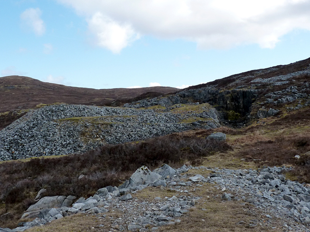
| Iron-copper trial, Kilchrist, Broadford, Isle of Skye, Eilean á Chèo, Highland, Scotland, UK | 57° 12' 34" N | 5° 56' 53" W | 4.2km (2.6 miles) | |
| Coire Gorm, Broadford, Isle Of Skye, Eilean á Chèo, Highland, Scotland, UK | 57° 13' 51" N | 5° 59' 7" W | 4.6km (2.9 miles) | |
| Beinn an Dubhaich, Isle of Skye, Eilean á Chèo, Highland, Scotland, UK | 57° 12' 3" N | 5° 58' 38" W | 6.0km (3.8 miles) | |
| Torrin, Broadford, Isle of Skye, Eilean á Chèo, Highland, Scotland, UK | 57° 12' 53" N | 6° 0' 53" W | 6.9km (4.3 miles) | |
| Maol na Gainmhich granite, Isle of Skye, Eilean á Chèo, Highland, Scotland, UK | 57° 13' 0" N | 6° 1' 0" W | 6.9km (4.3 miles) | |
| Camas Malag, Torrin, Broadford, Isle of Skye, Eilean á Chèo, Highland, Scotland, UK | 57° 12' 3" N | 5° 59' 55" W | 7.0km (4.3 miles) | |
| Ard Dorch, Luib, Isle of Skye, Eilean á Chèo, Highland, Scotland, UK | 57° 17' 13" N | 6° 1' 19" W | 8.4km (5.2 miles) | |
| Luib, Isle of Skye, Eilean á Chèo, Highland, Scotland, UK | 57° 16' 29" N | 6° 2' 34" W | 8.7km (5.4 miles) | |
| Kyleakin Quarry, Isle of Skye, Eilean á Chèo, Highland, Scotland, UK | 57° 16' 13" N | 5° 45' 29" W | 9.7km (6.1 miles) | |
| Loch Slapin, Torrin, Broadford, Isle of Skye, Eilean á Chèo, Highland, Scotland, UK | 57° 10' 37" N | 6° 1' 15" W | 9.8km (6.1 miles) | |
| Bla Bheinn, Cuillin Hills, Minginish, Isle of Skye, Eilean á Chèo, Highland, Scotland, UK | 57° 13' 16" N | 6° 5' 12" W | 10.8km (6.7 miles) | |
| Coire Uaigneich, Isle of Skye, Eilean á Chèo, Highland, Scotland, UK | 57° 12' 54" N | 6° 5' 3" W | 10.8km (6.7 miles) | |
| Eas a Bradain, Luib, Isle of Skye, Eilean á Chèo, Highland, Scotland, UK | 57° 15' 48" N | 6° 5' 24" W | 11.0km (6.9 miles) | |
| Meall a'Mhaoil, Cuillin Hills, Minginish, Isle of Skye, Eilean á Chèo, Highland, Scotland, UK | 57° 18' 8" N | 6° 3' 51" W | 11.4km (7.1 miles) | |
| Bruach Nam Bo, Luib, Isle of Skye, Eilean á Chèo, Highland, Scotland, UK | 57° 16' 0" N | 6° 6' 6" W | 11.8km (7.3 miles) | |
| Marsco, Sligachan, Isle of Skye, Eilean á Chèo, Highland, Scotland, UK | 57° 15' 7" N | 6° 8' 13" W | 13.6km (8.5 miles) | |
| Camasunary, Isle of Skye, Eilean á Chèo, Highland, Scotland, UK | 57° 11' 44" N | 6° 7' 17" W | 13.7km (8.5 miles) | |
| Glamaig, Sligachan, Isle of Skye, Eilean á Chèo, Highland, Scotland, UK | 57° 17' 44" N | 6° 7' 37" W | 14.3km (8.9 miles) | |
| Kyle Rhea, Isle of Skye, Eilean á Chèo, Highland, Scotland, UK | 57° 13' 26" N | 5° 40' 17" W | 14.6km (9.0 miles) | |
| Meall Dearg granite, Cuillin Hills, Minginish, Isle of Skye, Eilean á Chèo, Highland, Scotland, UK | 57° 13' 43" N | 6° 9' 19" W | 14.8km (9.2 miles) | |
| Loch Coruisk, Cuillin Hills, Minginish, Isle of Skye, Eilean á Chèo, Highland, Scotland, UK | 57° 12' 22" N | 6° 9' 59" W | 15.9km (9.9 miles) | |
| Sligachan quarry, Sligachan, Isle of Skye, Eilean á Chèo, Highland, Scotland, UK | 57° 17' 47" N | 6° 9' 24" W | 16.0km (9.9 miles) | |
| Lochalsh, Wester Ross, Strathpeffer and Lochalsh, Highland, Scotland, UK | 57° 16' 11" N | 5° 38' 49" W | 16.2km (10.1 miles) | |
| Duirinish, Isle of Skye, Eilean á Chèo, Highland, Scotland, UK | 57° 19' 6" N | 5° 40' 47" W | 16.3km (10.1 miles) | |
| Sligachan, Isle of Skye, Eilean á Chèo, Highland, Scotland, UK | 57° 17' 23" N | 6° 10' 25" W | 16.7km (10.4 miles) | |


Eas a Bradain, Luib, Isle of Skye, Eilean á Chèo, Highland, Scotland, UK