GRN grid region: N48E25
A grid 'square' of approximately 160km x 160km, part of the Global Reference Network of 19,833 grid cells covering the Earth.


Northeast Corner:
72 0'0'' N , 100 22'47'' E ( 72,100.38 )
Southwest Corner:
70 30'0'' N , 96 21'53'' E ( 70.5,96.365 )
Climate:
Select Mineral List Type
Standard Detailed Gallery Strunz Chemical ElementsMineral List
18 valid minerals.
Rock Types Recorded
Note: data is currently VERY limited. Please bear with us while we work towards adding this information!
Select Rock List Type
Alphabetical List Tree DiagramLocalities within grid area
- Krasnoyarsk Krai
- Taymyrskiy Autonomous Okrug
- Taimyr Peninsula
- Khatanga
- Taimyr Peninsula
- Taymyrskiy Autonomous Okrug
Quick NavMineral ListRock Types


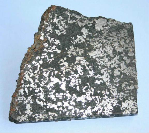
Khungtukun Massif, Malaya Romanikha River, Khatanga, Taimyr Peninsula, Taymyrskiy Autonomous Okrug, Krasnoyarsk Krai, Russia