GRN grid region: N43W08
A grid 'square' of approximately 160km x 160km, part of the Global Reference Network of 19,833 grid cells covering the Earth.


Northeast Corner:
64 30'0'' N , 21 6'29'' W ( 64.5,-21.1083 )
Southwest Corner:
63 0'0'' N , 24 7'30'' W ( 63,-24.125 )
Climate:
Select Mineral List Type
Standard Detailed Gallery Strunz Chemical ElementsMineral List
47 valid minerals.
Rock Types Recorded
Note: data is currently VERY limited. Please bear with us while we work towards adding this information!
Select Rock List Type
Alphabetical List Tree DiagramLocalities within grid area
- Capital Region
- Hafnarfjörður
- Kjósarhreppur
- Reykjavik
- Southern Peninsula
- Grindavíkurbær
- Southern Peninsula
- Grindavíkurbær
- Reykjanesbær
- Southern Region
- Grímsnes- og Grafningshreppur
- Sveitarfélagið Ölfus
- Western Region
- Hvalfjarðarsveit
Quick NavMineral ListRock Types


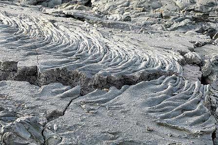
Fagradalsfjall volcano, Grindavik, Grindavíkurbær, Southern Peninsula, Iceland