GRN grid region: N13W65
A grid 'square' of approximately 160km x 160km, part of the Global Reference Network of 19,833 grid cells covering the Earth.


Northeast Corner:
19 30'0'' N , 96 2'42'' W ( 19.5,-96.045 )
Southwest Corner:
18 0'0'' N , 97 32'48'' W ( 18,-97.5467 )
Select Mineral List Type
Standard Detailed Gallery Strunz Chemical ElementsMineral List
15 valid minerals.
Rock Types Recorded
Note: data is currently VERY limited. Please bear with us while we work towards adding this information!
Select Rock List Type
Alphabetical List Tree DiagramLocalities within grid area
- Puebla
- Santiago Miahuatlán Municipality
- Tehuacán Municipality
- Tepeyahualco Municipality
- Puebla
- Tepeyahualco Municipality
- ⭔Veracruz
- Ixtaczoquitlán Municipality
- La Perla
- Xalapa Municipality
Quick NavMineral ListRock Types


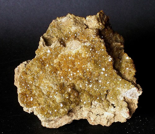
Pico de Orizaba volcano, La Perla, Veracruz, Mexico