| Locality | Latitude | Longitude | Distance | Bearing |
|---|
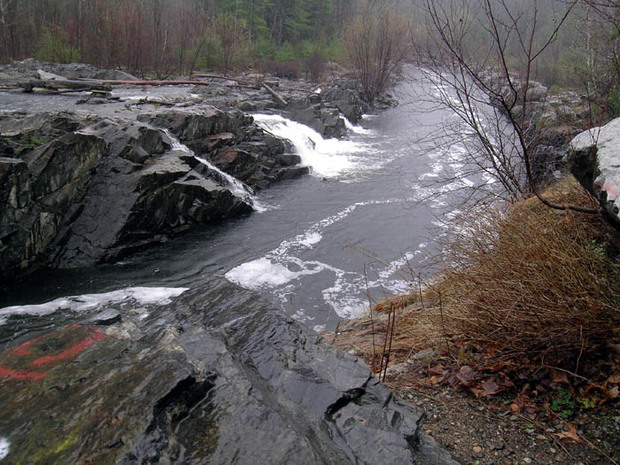
| Hudson, Hillsborough County, New Hampshire, USA | 42° 45' 52" N | 71° 26' 22" W | 0.0km (0.0 miles) | |
| Nashua, Hillsborough County, New Hampshire, USA | 42° 45' 27" N | 71° 27' 51" W | 2.2km (1.3 miles) | |
| Audley Quarry, Merrimack, Hillsborough County, New Hampshire, USA | 42° 48' 36" N | 71° 29' 49" W | 6.9km (4.3 miles) | |
| Continental Paving Quarry, Londonderry, Rockingham County, New Hampshire, USA | 42° 49' 40" N | 71° 25' 32" W | 7.1km (4.4 miles) | |
| Flat Rock Hill Quarry, Dunstable, Middlesex County, Massachusetts, USA | 42° 41' 55" N | 71° 29' 29" W | 8.5km (5.3 miles) | |
| Litchfield, Hillsborough County, New Hampshire, USA | 42° 50' 34" N | 71° 27' 17" W | 8.8km (5.5 miles) | |
| Route 101A construction site, Merrimack, Hillsborough County, New Hampshire, USA | 42° 48' 15" N | 71° 32' 59" W | 10.0km (6.2 miles) | |
| Pelham, Hillsborough County, New Hampshire, USA | 42° 44' 3" N | 71° 19' 27" W | 10.0km (6.2 miles) | |
| Hollis Gold Mine, Hollis, Hillsborough County, New Hampshire, USA | 42° 45' 51" N | 71° 33' 59" W | 10.3km (6.4 miles) | |
| Ledge Road, Windham, Rockingham County, New Hampshire, USA | 42° 48' 13" N | 71° 19' 13" W | 10.7km (6.6 miles) | |
| Windham, Rockingham County, New Hampshire, USA | 42° 48' 2" N | 71° 18' 15" W | 11.8km (7.3 miles) | |
| Pulpit Rock area, Pelham, Hillsborough County, New Hampshire, USA | 42° 42' 32" N | 71° 19' 1" W | 11.8km (7.3 miles) | |
| Merrimack, Hillsborough County, New Hampshire, USA | 42° 51' 59" N | 71° 29' 36" W | 12.1km (7.5 miles) | |
| Londonderry, Rockingham County, New Hampshire, USA | 42° 51' 54" N | 71° 22' 26" W | 12.4km (7.7 miles) | |
| Hollis, Hillsborough County, New Hampshire, USA | 42° 44' 35" N | 71° 35' 30" W | 12.6km (7.9 miles) | |
| PJ Keating Quarry (Dracut Quarry; Condon Quarry; Essex Bituminous), Dracut, Middlesex County, Massachusetts, USA | 42° 41' 47" N | 71° 18' 48" W | 12.8km (8.0 miles) | |
| Litchfield Sand & Gravel Quarry, Litchfield, Hillsborough County, New Hampshire, USA | 42° 52' 57" N | 71° 26' 21" W | 13.1km (8.1 miles) | |
| Oak Hill Quarry, Westford, Middlesex County, Massachusetts, USA | 42° 38' 42" N | 71° 25' 59" W | 13.3km (8.3 miles) | |
| W. J. Graves Granite Quarry, Westford, Middlesex County, Massachusetts, USA | 42° 38' 44" N | 71° 25' 13" W | 13.4km (8.3 miles) | |
| Morris & Luke Quarry, Westford, Middlesex County, Massachusetts, USA | 42° 38' 40" N | 71° 25' 57" W | 13.4km (8.3 miles) | |
| Ledge Hill Quarry, Dracut, Middlesex County, Massachusetts, USA | 42° 39' 52" N | 71° 20' 43" W | 13.5km (8.4 miles) | |
| Newport Aggregates Quarry, Westford, Middlesex County, Massachusetts, USA | 42° 38' 32" N | 71° 25' 14" W | 13.7km (8.5 miles) | |
| Fletcher's Pond Dam, Westford, Middlesex County, Massachusetts, USA | 42° 37' 58" N | 71° 25' 28" W | 14.7km (9.1 miles) | |
| Fletcher Granite Quarry (H. E. Fletcher Quarry; Chelmsford Grey Quarry), Westford, Middlesex County, Massachusetts, USA | 42° 37' 58" N | 71° 25' 3" W | 14.8km (9.2 miles) | |
| Route 101/101A road cuts, Amherst, Hillsborough County, New Hampshire, USA | 42° 49' 23" N | 71° 36' 52" W | 15.7km (9.7 miles) | |
| Noah Prescott's Quarry, Westford, Middlesex County, Massachusetts, USA | 42° 36' 58" N | 71° 26' 11" W | 16.5km (10.3 miles) | |
| Route 28 area, Windham, Rockingham County, New Hampshire, USA | 42° 49' 12" N | 71° 15' 2" W | 16.6km (10.3 miles) | |
| Souhegan Quarry, Milford, Hillsborough County, New Hampshire, USA | 42° 48' 3" N | 71° 38' 21" W | 16.8km (10.4 miles) | |
| Hayden Quarry, Milford, Hillsborough County, New Hampshire, USA | 42° 48' 47" N | 71° 38' 16" W | 17.0km (10.6 miles) | |
| Route 111 bypass road cut, Windham, Rockingham County, New Hampshire, USA | 42° 49' 10" N | 71° 14' 34" W | 17.2km (10.7 miles) | |


Mine Falls Park, Nashua, Hillsborough County, New Hampshire, USA