| Locality | Latitude | Longitude | Distance | Bearing |
|---|
| Ace of Diamonds Mine, Middleville, Town of Newport, Herkimer County, New York, USA | 43° 7' 57" N | 74° 58' 27" W | 0.9km (0.5 miles) | |
| Herkimer Diamond Mine (Herkimer Diamond Development), Middleville, Town of Newport, Herkimer County, New York, USA | 43° 7' 46" N | 74° 58' 36" W | 1.2km (0.8 miles) | |
| Middleville quarry, Middleville, Town of Newport, Herkimer County, New York, USA | 43° 9' 14" N | 74° 58' 41" W | 1.9km (1.2 miles) | |
| Salisbury Corners, Town of Salisbury, Herkimer County, New York, USA | 43° 7' 59" N | 74° 47' 59" W | 13.7km (8.5 miles) | |
| Treasure Mountain Diamond Mine, Little Falls, Herkimer County, New York, USA | 43° 2' 8" N | 74° 50' 53" W | 15.0km (9.3 miles) | |
| Ilion Gorge, Ilion, Town of German Flatts, Herkimer County, New York, USA | 42° 57' 48" N | 75° 6' 44" W | 22.7km (14.1 miles) | |
| St Johnsville quarry (Talarico quarry), St Johnsville, Montgomery County, New York, USA | 42° 59' 57" N | 74° 41' 25" W | 27.4km (17.0 miles) | |
| Crystal Grove, Lassellsville, Town of Ephratah, Fulton County, New York, USA | 43° 3' 10" N | 74° 37' 59" W | 28.8km (17.9 miles) | |
| Starkville, Town of Stark, Herkimer County, New York, USA | 42° 55' 0" N | 74° 46' 30" W | 29.3km (18.2 miles) | |
| Franklin Iron Manufacturing Company Mines, Clinton, Oneida County, New York, USA | 43° 2' 59" N | 75° 22' 59" W | 35.1km (21.8 miles) | |
| Borst Mines, Clinton, Oneida County, New York, USA | 43° 2' 59" N | 75° 22' 59" W | 35.1km (21.8 miles) | |
| Westmoreland, Oneida County, New York, USA | 43° 6' 58" N | 75° 24' 15" W | 35.5km (22.0 miles) | |
| Root Glen, Clinton, Oneida County, New York, USA | 43° 2' 53" N | 75° 24' 18" W | 36.9km (22.9 miles) | |
| Road Cut, Cherry Valley, Oswego County, New York, USA | 42° 46' 59" N | 74° 45' 0" W | 43.3km (26.9 miles) | |
| Diamond Acres diggings, Fonda, Mohawk Township, Montgomery County, New York, USA | 42° 57' 47" N | 74° 28' 36" W | 44.4km (27.6 miles) | |
| Sprakers, Montgomery County, New York, USA | 42° 53' 28" N | 74° 30' 49" W | 46.0km (28.6 miles) | |
| Hickory Hill, Fonda, Mohawk Township, Montgomery County, New York, USA | 42° 56' 33" N | 74° 28' 5" W | 46.1km (28.7 miles) | |
| Sprakers Basin, Montgomery County, New York, USA | 42° 53' 0" N | 74° 31' 0" W | 46.4km (28.8 miles) | |
| Burlington meteorite, Cooperstown, Oswego County, New York, USA | 42° 45' 0" N | 75° 10' 59" W | 46.6km (29.0 miles) | |
| Vernon, Oneida County, New York, USA | 43° 4' 46" N | 75° 32' 22" W | 46.9km (29.1 miles) | |
| Sherrill, Oneida County, New York, USA | 43° 4' 30" N | 75° 35' 59" W | 51.8km (32.2 miles) | |
| Graphite Mine, Porters Corners, Lewis County, New York, USA | 43° 34' 15" N | 75° 14' 52" W | 53.1km (33.0 miles) | |
| Richard Tyrell Farm Pegmatite Quarry, Richard Tyrell farm, Cranberry Creek, Mayfield, Fulton County, New York, USA | 43° 5' 59" N | 74° 16' 0" W | 57.1km (35.5 miles) | |
| Werner Prospect 1, Mayfield, Fulton County, New York, USA | 43° 10' 20" N | 74° 15' 10" W | 58.2km (36.1 miles) | |
| Port Leyden Mine, Port Leyden, Lewis County, New York, USA | 43° 34' 59" N | 75° 20' 59" W | 58.3km (36.2 miles) | |
| Lyonsdale, Lewis County, New York, USA | 43° 37' 6" N | 75° 18' 23" W | 60.0km (37.3 miles) | |
| Morrisville, Madison County, New York, USA | 42° 54' 0" N | 75° 37' 59" W | 60.2km (37.4 miles) | |
| Lyons Falls (Lyon Falls pegmatite), Lewis County, New York, USA | 43° 38' 15" N | 75° 21' 56" W | 64.1km (39.8 miles) | |
| Howes Cave, Cobleskill, Schoharie County, New York, USA | 42° 41' 23" N | 74° 22' 58" W | 69.0km (42.9 miles) | |
| Terrace Hill, Schoharie Village, Schoharie Township, Schoharie County, New York, USA | 42° 42' 0" N | 74° 18' 59" W | 72.1km (44.8 miles) | |


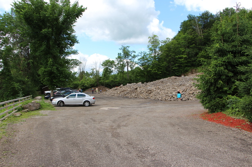


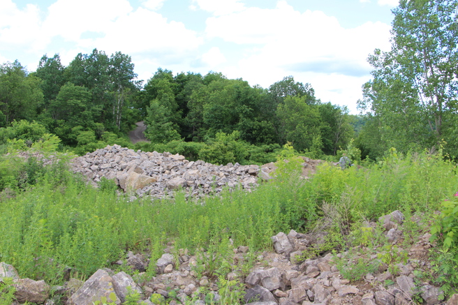


Ace of Diamonds Mine, Middleville, Town of Newport, Herkimer County, New York, USA