Windarling Iron Ore Mine, Mount Jackson Goldfield, Yilgarn Shire, Western Australia, Australiai
| Regional Level Types | |
|---|---|
| Windarling Iron Ore Mine | Mine |
| Mount Jackson Goldfield | Ore Field |
| Yilgarn Shire | Shire |
| Western Australia | State |
| Australia | Country |
This page is currently not sponsored. Click here to sponsor this page.


Latitude & Longitude (WGS84):
30° 0' 40'' South , 119° 18' 10'' East
Latitude & Longitude (decimal):
Type:
Köppen climate type:
Mindat Locality ID:
266798
Long-form identifier:
mindat:1:2:266798:3
GUID (UUID V4):
afaf4a73-3060-4c61-9340-0dc9d11885a0
The Windarling Iron Ore Mine is 27 kilometres north of Mount Jackson, and 135 kilometres north of Southern Cross. The mine is operated by Cliffs Natural Resources, who also operates iron ore mines at Mount Jackson and Koolyanobbing. Ore is trucked to Koolyanobbing, then railed to the port of Esperance.
There is no public access to the mine, the road in is a private mine road used by haul trucks. Access to the general area is via the Bullfinch-Evanston Road, which heads north of Bullfinch and passes east of the mine.
Iron ore is mined on the east-west trending Windarling Range. As of December 2007, Indicated and Inferred JORC resources stand at 51.9 Mt of ore at 63.26% Fe. On a regional level the mine occupies a portion of the Marda Greenstone Belt, near the western margin where the greenstone belt is truncated by the Koolyanobbing Fault.
The mine accesses two parallel zones of banded iron formation (BIF), about 600 metres apart at the western end of the range, with the two units gradually converging to the east. The BIF units are enveloped by metasediments and mafic volcanics, which are deeply oxidised, especially close to the BIF. The geology is similar to Koolyanobbing, where more information in this regard is located.
There are 6 pits called W1, W2, W3, W5, W4 West and W4 East.
W1 is the western most pit. Waste rock from it will eventually be used to backfill the W2 pit.
W2 is the southern most pit, with a BIF horizon dipping 75 to 80 degrees south, and striking for 1000 metres.
W3 forms the most prominent ridge of the western range, dips 50 degrees south, and strikes for 950 metres. Mining began in 2004 and is expected to end in 2017. It is the central pit being described here. It accesses three parallel zones of iron, about 40 metres wide, separated by lenses of sheared mafic. Due to environmental restrictions the company can only access 30% of the deposit, but can apply for 50% assuming approval. The pit covers an area of 64.7 ha.
The W5 deposit is 250 metres to the south, dipping 70 degrees south and striking for 1050 metres. It access five zones of well bedded, medium grained hematite, with minor goethite, across a 25 metre wide range.
W4 West and East are the eastern most pits. W4 East began mining in 2013 with an expected life until 2017, and covers 27 ha. Mining at W4 West began in 2012, and will be backfilled by ore from W4 East.
Iron ore mines in this region suffer the same problems as those I wrote about for the Mid-West Region of Western Australia. On the one hand, mining is important for the economy of Western Australia, in terms of jobs and money. Environmental conditions imposed on mining in Australia are some of the strictest in the world, and add a substantial cost to the company. A report needs to prepared by the Department of Environment, paid for by the company, and also a mine closure plan. The company is required to address, remediate or limit any environmental impacts identified.
The other side of the argument is presented by environmental groups. It has not gained great traction, due to these areas being remote, and the lack of public access. The Department of Environment recommended against the Windarling Mine in 2002, but its decision was overridden.
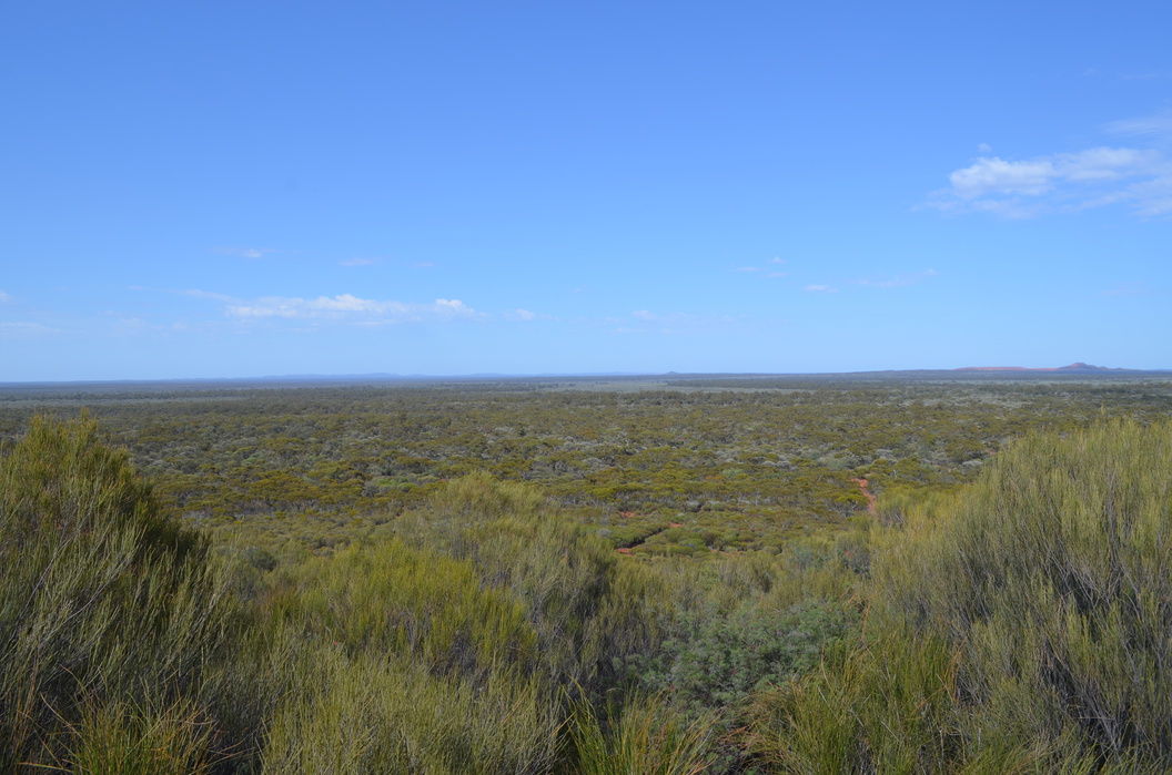
The BIF deposits in these regions form isolated rafts, largely steep sided hills in an otherwise flat landscape. They often contain rare flora and fauna. An iron ore mine is a major impost on the landscape with often the whole hill or mountain being demolished. This removes one of the few geographic features in the landscape. At Windarling they are attempting so far to keep one side of the range intact.
Further, the public is forever barred from accessing the area, even after the mine is closed. This is for fear people will fall into the abandoned pit, drown in the pit lake formed after mining, or whatever public safety concerns officials can think about in the nanny state Australia has become.
Select Mineral List Type
Standard Detailed Gallery Strunz Chemical ElementsCommodity List
This is a list of exploitable or exploited mineral commodities recorded at this locality.Mineral List
2 valid minerals.
Rock Types Recorded
Note: data is currently VERY limited. Please bear with us while we work towards adding this information!
Select Rock List Type
Alphabetical List Tree DiagramDetailed Mineral List:
| ⓘ Goethite Formula: α-Fe3+O(OH) |
| ⓘ Hematite Formula: Fe2O3 References: |
| ⓘ Hematite var. Specularite Formula: Fe2O3 References: |
Gallery:

List of minerals arranged by Strunz 10th Edition classification
| Group 4 - Oxides and Hydroxides | |||
|---|---|---|---|
| ⓘ | Goethite | 4.00. | α-Fe3+O(OH) |
| ⓘ | Hematite | 4.CB.05 | Fe2O3 |
| ⓘ | var. Specularite | 4.CB.05 | Fe2O3 |
List of minerals for each chemical element
| H | Hydrogen | |
|---|---|---|
| H | ⓘ Goethite | α-Fe3+O(OH) |
| O | Oxygen | |
| O | ⓘ Hematite | Fe2O3 |
| O | ⓘ Hematite var. Specularite | Fe2O3 |
| O | ⓘ Goethite | α-Fe3+O(OH) |
| Fe | Iron | |
| Fe | ⓘ Hematite | Fe2O3 |
| Fe | ⓘ Hematite var. Specularite | Fe2O3 |
| Fe | ⓘ Goethite | α-Fe3+O(OH) |
Other Regions, Features and Areas containing this locality
Australia
- Western Australia
- West Australian ElementCraton
- Yilgarn CratonCraton
Australian PlateTectonic Plate
This page contains all mineral locality references listed on mindat.org. This does not claim to be a complete list. If you know of more minerals from this site, please register so you can add to our database. This locality information is for reference purposes only. You should never attempt to
visit any sites listed in mindat.org without first ensuring that you have the permission of the land and/or mineral rights holders
for access and that you are aware of all safety precautions necessary.
References


Windarling Iron Ore Mine, Mount Jackson Goldfield, Yilgarn Shire, Western Australia, Australia