| Locality | Latitude | Longitude | Distance | Bearing |
|---|
| Castle-an-Dinas Mine, Castle-an-Dinas, St Columb Major, Cornwall, England, UK | 50° 25' 26" N | 4° 53' 30" W | 0.0km (0.0 miles) | |
| Castle-an-Dinas, St Columb Major, Cornwall, England, UK | 50° 25' 30" N | 4° 53' 38" W | 0.2km (0.1 miles) | |
| Belowda, Roche, Cornwall, England, UK | 50° 25' 13" N | 4° 51' 52" W | 2.0km (1.2 miles) | |
| Belowda China Clay Pit, Belowda, Roche, Cornwall, England, UK | 50° 25' 38" N | 4° 51' 45" W | 2.1km (1.3 miles) | |
| Goss Moor, St Dennis, St Austell, Cornwall, England, UK | 50° 24' 12" N | 4° 52' 55" W | 2.4km (1.5 miles) | |
| Wheal Dora, Belowda, Roche, Cornwall, England, UK | 50° 25' 26" N | 4° 51' 29" W | 2.4km (1.5 miles) | |
| Goss Moor, St Dennis, Cornwall, England, UK | 50° 24' 16" N | 4° 52' 35" W | 2.4km (1.5 miles) | |
| Belowda Beacon, Belowda, Roche, Cornwall, England, UK | 50° 25' 36" N | 4° 51' 26" W | 2.5km (1.5 miles) | |
| Wheal Gasson (Wheal Penrose; Wheal Gorgan), Goss Moor, St Dennis, Cornwall, England, UK | 50° 23' 49" N | 4° 53' 15" W | 3.0km (1.9 miles) | |
| Great Royalton Mine, Roche, Cornwall, England, UK | 50° 25' 17" N | 4° 50' 55" W | 3.1km (1.9 miles) | |
| Ruthers Mine (Ruthvoes Mine; Indian Queens Iron Mine), Indian Queens, St Enoder, Cornwall, England, UK | 50° 24' 12" N | 4° 55' 23" W | 3.2km (2.0 miles) | |
| Gaverigan Tin Stream Works, Indian Queens, St Enoder, Cornwall, England, UK | 50° 23' 44" N | 4° 54' 20" W | 3.3km (2.0 miles) | |
| Gothers, St Dennis, Cornwall, England, UK | 50° 23' 30" N | 4° 51' 51" W | 4.1km (2.5 miles) | |
| Pits Mingle Iron Mine (Dyehouse Mine; Trerank Mine), Trezaise (Tresayes), Roche, Cornwall, England, UK | 50° 24' 15" N | 4° 50' 34" W | 4.1km (2.6 miles) | |
| Brynn Mine, Withiel, Cornwall, England, UK | 50° 25' 33" N | 4° 49' 48" W | 4.4km (2.7 miles) | |
| Indian Queens, St Enoder, Cornwall, England, UK | 50° 23' 39" N | 4° 56' 6" W | 4.5km (2.8 miles) | |
| Victoria, Roche, Cornwall, England, UK | 50° 25' 11" N | 4° 49' 42" W | 4.5km (2.8 miles) | |
| St Dennis, St Austell, Cornwall, England, UK | 50° 23' 0" N | 4° 52' 54" W | 4.5km (2.8 miles) | |
| Wheal Frederick China Clay Pit, Gothers, St Dennis, Cornwall, England, UK | 50° 23' 12" N | 4° 51' 52" W | 4.6km (2.8 miles) | |
| Fatwork and Virtue Mine (Indian Queens Tin Mine; Wheal Cornwall), Trevarran United Mines, Indian Queens, St Enoder, Cornwall, England, UK | 50° 23' 26" N | 4° 55' 50" W | 4.6km (2.9 miles) | |
| St Dennis Crown Mine, St Dennis, St Austell, Cornwall, England, UK | 50° 23' 3" N | 4° 51' 53" W | 4.8km (3.0 miles) | |
| Parka Mine (Park of Mines), Trevarran United Mines, Indian Queens, St Enoder, Cornwall, England, UK | 50° 23' 32" N | 4° 56' 22" W | 4.9km (3.0 miles) | |
| Tower Consols (Magnetic Iron Mine; incl. Wheal Click), Trezaise (Tresayes), Roche, Cornwall, England, UK | 50° 24' 9" N | 4° 49' 50" W | 5.0km (3.1 miles) | |
| Trelavour Downs, St Dennis, Cornwall, England, UK | 50° 22' 52" N | 4° 52' 11" W | 5.0km (3.1 miles) | |
| Lanjew Mine, Withiel, Cornwall, England, UK | 50° 27' 9" N | 4° 50' 13" W | 5.0km (3.1 miles) | |
| Hendra Downs, St Dennis, Cornwall, England, UK | 50° 22' 43" N | 4° 53' 0" W | 5.1km (3.1 miles) | |
| Gothers China Clay Pit, Whitemoor, St Stephen-in-Brannel, Cornwall, England, UK | 50° 23' 0" N | 4° 51' 31" W | 5.1km (3.2 miles) | |
| Roche Rock, Trezaise (Tresayes), Roche, Cornwall, England, UK | 50° 24' 7" N | 4° 49' 41" W | 5.1km (3.2 miles) | |
| Trelavour China Clay works, St Dennis, St Austell, Cornwall, England, UK | 50° 22' 44" N | 4° 52' 24" W | 5.2km (3.2 miles) | |
| Wheal Remfry China Clay Pit, Fraddon, St Enoder, Cornwall, England, UK | 50° 22' 50" N | 4° 55' 13" W | 5.2km (3.2 miles) | |
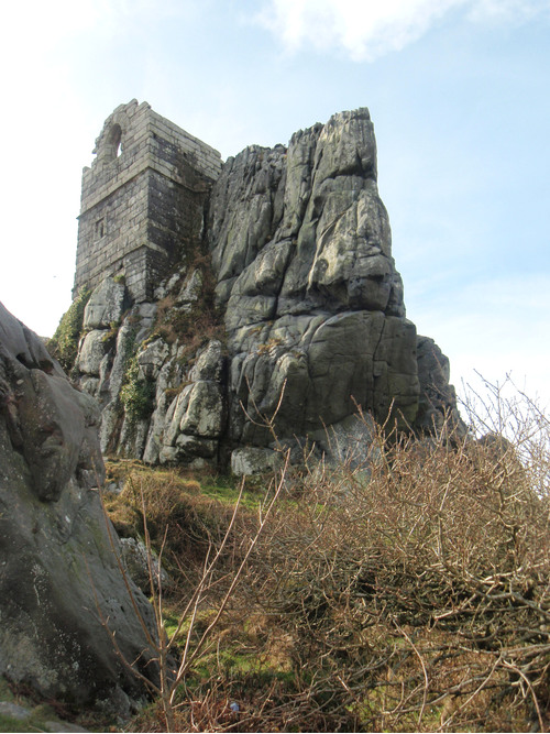


Roche Rock, Trezaise, Roche, Cornwall, England, UK