| Locality | Latitude | Longitude | Distance | Bearing |
|---|
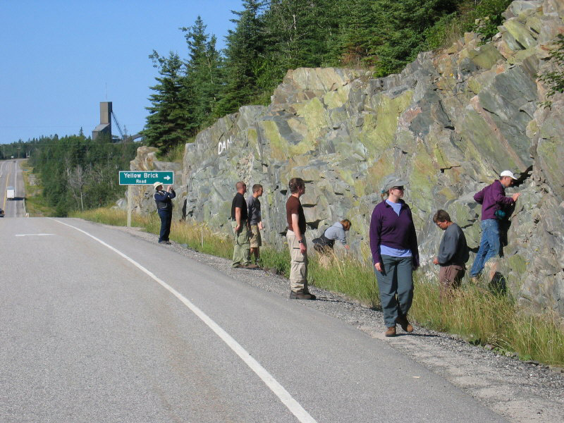
| Hemlo gold deposit, Bomby Township, Thunder Bay District, Ontario, Canada | 48° 41' 39" N | 85° 54' 38" W | 0.0km (0.0 miles) | |
| Golden Giant Mine, Hemlo gold deposit, Bomby Township, Thunder Bay District, Ontario, Canada | 48° 41' 40" N | 85° 54' 12" W | 0.5km (0.3 miles) | |
| Williams Mine (Page Williams Mine), Hemlo gold deposit, Bomby Township, Thunder Bay District, Ontario, Canada | 48° 41' 43" N | 85° 55' 9" W | 0.6km (0.4 miles) | |
| David Bell Mine, Hemlo gold deposit, Bomby Township, Thunder Bay District, Ontario, Canada | 48° 41' 33" N | 85° 53' 34" W | 1.3km (0.8 miles) | |
| Fearless-Python property, Thunder Bay District, Ontario, Canada | 48° 41' 8" N | 85° 49' 59" W | 5.8km (3.6 miles) | |
| White River property (White River gold occurrence), Bomby Township, Thunder Bay District, Ontario, Canada | 48° 39' 34" N | 85° 50' 43" W | 6.2km (3.8 miles) | |
| Northern Eagle occurrence, Pic Township, Thunder Bay District, Ontario, Canada | 48° 41' 29" N | 86° 11' 45" W | 20.9km (13.0 miles) | |
| Big Lake deposit, Marathon area, Thunder Bay District, Ontario, Canada | 48° 35' 15" N | 86° 10' 15" W | 22.5km (14.0 miles) | |
| Peekongay Mine, Pic Township, Thunder Bay District, Ontario, Canada | 48° 39' 21" N | 86° 17' 2" W | 27.7km (17.2 miles) | |
| White River area, Thunder Bay District, Ontario, Canada | 48° 41' 6" N | 85° 29' 30" W | 30.8km (19.1 miles) | |
| Marathon deposit, Coldwell complex, Thunder Bay District, Ontario, Canada | 48° 48' 6" N | 86° 18' 34" W | 31.6km (19.6 miles) | |
| Anaconda occurrence (Stillwater Marathon project), Seeley Lake Area, Thunder Bay District, Ontario, Canada | 48° 48' 5" N | 86° 18' 43" W | 31.7km (19.7 miles) | |
| Fleck occurrence (American Brass; Two Duck Lake), O'Neill Township, Thunder Bay District, Ontario, Canada | 48° 46' 53" N | 86° 19' 30" W | 31.9km (19.8 miles) | |
| Downey occurrence, Pic Township, Thunder Bay District, Ontario, Canada | 48° 44' 52" N | 86° 21' 51" W | 33.8km (21.0 miles) | |
| W horizon, Coldwell complex, Thunder Bay District, Ontario, Canada | 48° 49' 50" N | 86° 20' 41" W | 35.2km (21.9 miles) | |
| Ameranium prospect (Geordie Lake; Macrae), Seeley Lake Area, Thunder Bay District, Ontario, Canada | 48° 49' 12" N | 86° 28' 59" W | 44.2km (27.5 miles) | |
| Port Coldwell molybdenite occurrence, Coldwell Township, Thunder Bay District, Ontario, Canada | 48° 45' 38" N | 86° 31' 45" W | 46.0km (28.6 miles) | |
| Area 41 deposit, Seeley Lake Area, Thunder Bay District, Ontario, Canada | 48° 52' 53" N | 86° 30' 0" W | 47.9km (29.8 miles) | |
| Willroy mine, Gemmell Township, Thunder Bay District, Ontario, Canada | 49° 9' 24" N | 85° 49' 31" W | 51.8km (32.2 miles) | |
| Geco Mine, Gemmell Township, Thunder Bay District, Ontario, Canada | 49° 9' 19" N | 85° 47' 21" W | 52.0km (32.3 miles) | |
| Nama Creek Mine, Mapledoran Township, Thunder Bay District, Ontario, Canada | 49° 9' 52" N | 85° 50' 47" W | 52.5km (32.6 miles) | |
| Willecho Mine, Mapledoran Township, Thunder Bay District, Ontario, Canada | 49° 10' 32" N | 85° 53' 2" W | 53.6km (33.3 miles) | |
| Coldwell complex, Thunder Bay District, Ontario, Canada | 48° 47' 54" N | 86° 39' 6" W | 55.5km (34.5 miles) | |
| Morley pyrite occurrence, Walsh Township, Thunder Bay District, Ontario, Canada | 48° 49' 13" N | 86° 40' 53" W | 58.2km (36.2 miles) | |
| Deadhorse Creek complex, Walsh Township, Thunder Bay District, Ontario, Canada | 48° 49' 59" N | 86° 40' 40" W | 58.3km (36.2 miles) | |
| Good Hope carbonatite, Killala Lake area, Thunder Bay District, Ontario, Canada | 49° 4' 40" N | 86° 32' 46" W | 63.1km (39.2 miles) | |
| Sugar Zone deposit, Hambleton Township, Thunder Bay District, Ontario, Canada | 48° 47' 53" N | 85° 0' 34" W | 67.1km (41.7 miles) | |
| Prairie Lake carbonatite, Killala Lake Area, Thunder Bay District, Ontario, Canada | 49° 2' 7" N | 86° 43' 3" W | 70.1km (43.6 miles) | |
| Ruffle Lake ferrocarbonatite, Killala Lake area, Thunder Bay District, Ontario, Canada | 49° 4' 59" N | 86° 41' 48" W | 71.9km (44.7 miles) | |
| Empress Mine (Royal vein), SyineTownship, Thunder Bay District, Ontario, Canada | 48° 51' 43" N | 86° 58' 46" W | 80.5km (50.0 miles) | |


Hemlo gold deposit, Bomby Township, Thunder Bay District, Ontario, Canada