| Locality type: | Mine |
| Classification |
|---|
|
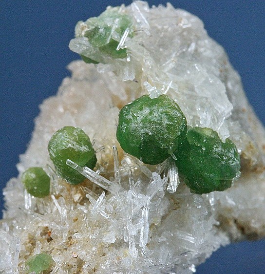
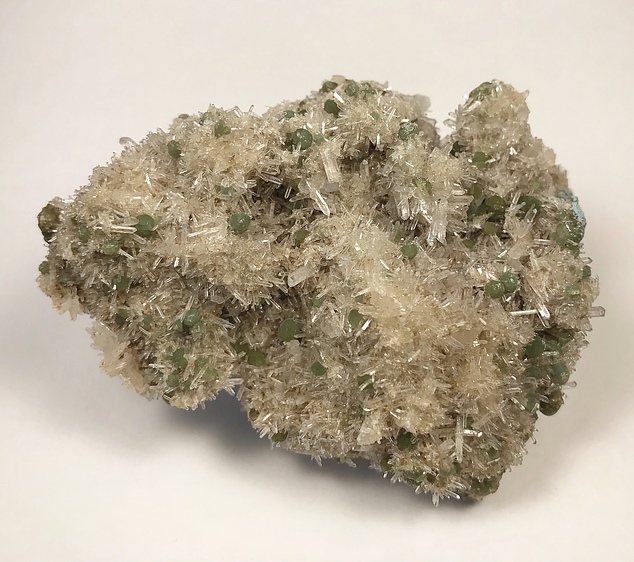
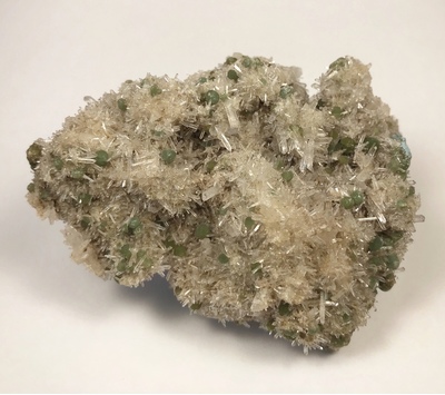
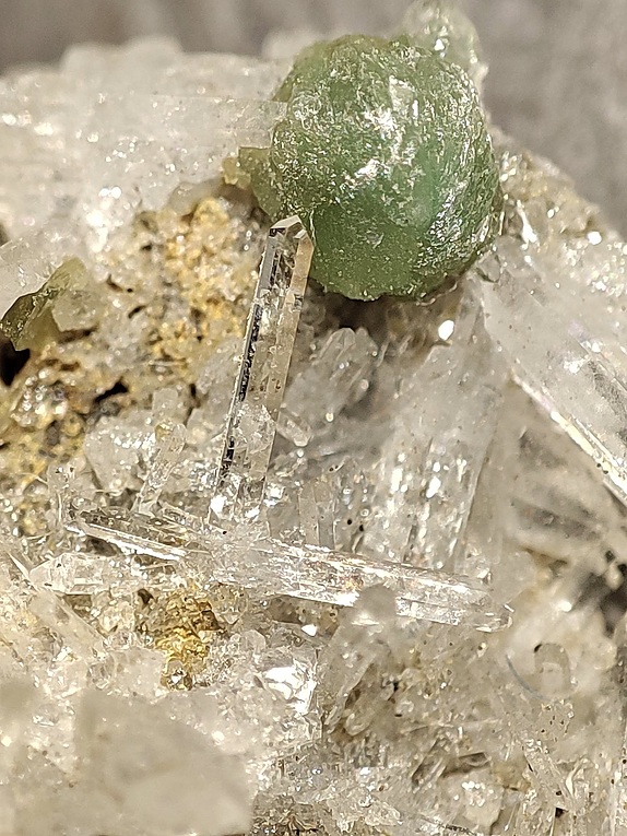
| Species: | Cookeite |
| Formula: | (LiAl4◻)[AlSi3O10](OH)8 |
| Confirmation |
|---|
|
| Validity: | Believed Valid |
| Associated Minerals Based on Photo Data: |
|---|
|
| Quartz | ⓘ43 photos of Cookeite associated with Quartz at this locality. |
| Data |
|---|
|
| Mineral Data: | Click here to view Cookeite data |
| Locality Data: | Click here to view Stand-on-Your-Head No. 1 mine (Alum Creek prospect), Bland, Saline County, Arkansas, USA |
| Photo Gallery | View Gallery (25 photos) |
| Data Identifiers |
|---|
|
| Mindat Occurrence Record ID: | 3926 |
| Long-form Identifier: | 1:3:3926:0 |
| GUID (UUID V4): | b3267988-b278-429e-8a6e-92c551815921 |
| Nearest other occurrences of Cookeite |
|---|
|
|
| 37.7km (23.4 miles) | ⓘBig Rock Quarry (3M Quarry; Arch Street Pike Quarry), Granite Mountain area, Little Rock, Pulaski County, Arkansas, USA |
| 37.8km (23.5 miles) | ⓘBig Rock Quarry (Big Rock Sandstone Quarry), North Little Rock, Pulaski County, Arkansas, USA |
| 38.0km (23.6 miles) | ⓘJeffrey Quarry, Jeffrey, Pulaski County, Arkansas, USA |
| 47.9km (29.7 miles) | ⓘKellogg Mine (Confederate Mine; German shaft; Welldiggen claim), Little Rock, Pulaski County, Arkansas, USA |
| References |
|---|
|
|


Stand-on-Your-Head No. 1 mine, Bland, Saline County, Arkansas, USA