| Locality type: | Creek |
| Classification |
|---|
|
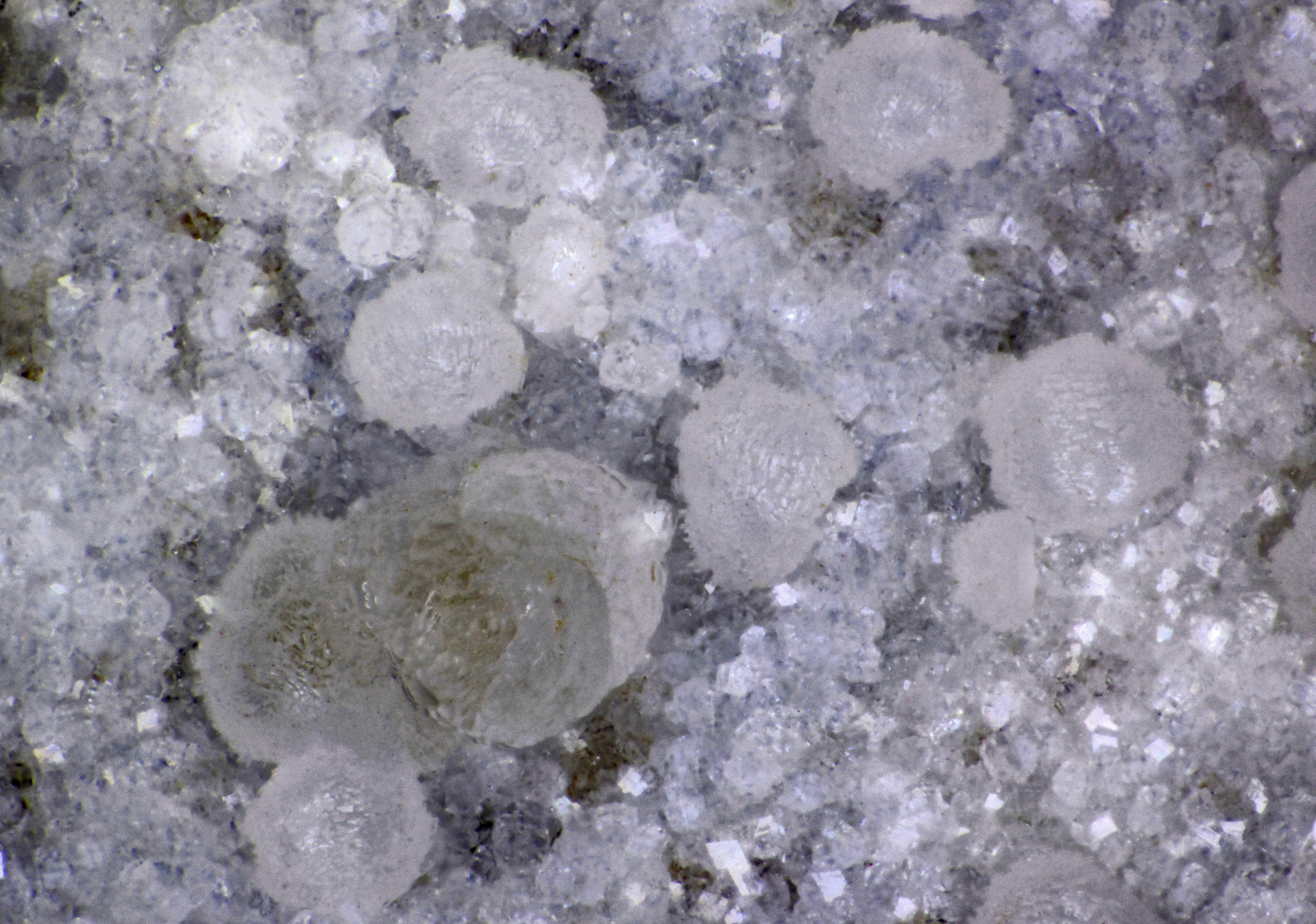
| Species: | Thomsonite-Ca |
| Formula: | NaCa2[Al5Si5O20] · 6H2O |
| Confirmation |
|---|
|
| Validity: | Confirmed |
| Confirmation Methods: | Visually Identified |
| Associated Minerals Based on Photo Data: |
|---|
|
| Phillipsite Subgroup | ⓘ1 photo of Thomsonite-Ca associated with Phillipsite Subgroup at this locality. |
| Data |
|---|
|
| Mineral Data: | Click here to view Thomsonite-Ca data |
| Locality Data: | Click here to view Sixmile Creek, Ritter, Grant County, Oregon, USA |
| Data Identifiers |
|---|
|
| Mindat Occurrence Record ID: | 1077543 |
| Long-form Identifier: | 1:3:1077543:1 |
| GUID (UUID V4): | 16244a0b-fe49-413a-bd54-6627a8e44f43 |
| Nearest other occurrences of Thomsonite-Ca |
|---|
|
|
| 4.8km (3.0 miles) | ⓘDevils Backbone, North Fork John Day River, Grant County, Oregon, USA |
| 6.1km (3.8 miles) | ⓘRitter Hot Springs, Ritter, Grant County, Oregon, USA |
| 7.1km (4.4 miles) | ⓘMiddle Fork Cliffs, Ritter, Grant County, Oregon, USA |
| 10.6km (6.6 miles) | ⓘRoadside Quarry, Ritter, Grant County, Oregon, USA |
| 10.8km (6.7 miles) | ⓘUpper Ritter Quarry, Ritter, Grant County, Oregon, USA |
| 37.8km (23.5 miles) | ⓘBig Bend, Kimberley, Grant County, Oregon, USA |
| 40.3km (25.0 miles) | ⓘBurnt Cabin Creek, Spray, Wheeler County, Oregon, USA |
| 43.7km (27.1 miles) | ⓘIndian Rock Lookout, Middle Fork John Day River, Grant County, Oregon, USA |
| 47.7km (29.6 miles) | ⓘBeech Creek Quarry, Mount Vernon, Grant County, Oregon, USA |
| 51.4km (31.9 miles) | ⓘLower Kahler Creek, Spray, Wheeler County, Oregon, USA |
| References |
|---|
|
|


Sixmile Creek, Ritter, Grant County, Oregon, USA