| Classification |
|---|
|
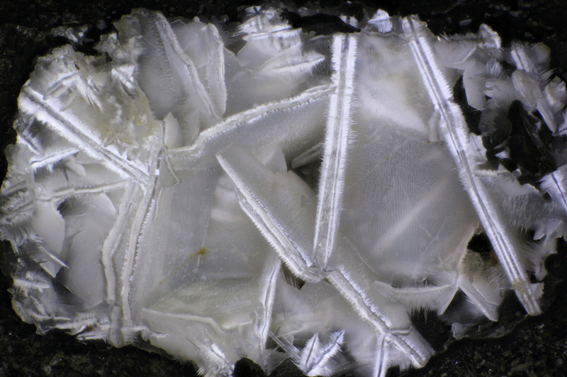
| Species: | 'Lévyne' (not an IMA approved species) |
| Confirmation |
|---|
|
| Validity: | Confirmed |
| Confirmation Methods: | Visually Identified |
| Associated Minerals Based on Photo Data: |
|---|
|
| Offretite | ⓘ4 photos of Lévyne associated with Offretite at this locality. |
| Data |
|---|
|
| Mineral Data: | Click here to view Lévyne data |
| Locality Data: | Click here to view Devils Backbone, North Fork John Day River, Grant County, Oregon, USA |
| Photo Gallery | View Gallery (2 photos) |
| Data Identifiers |
|---|
|
| Mindat Occurrence Record ID: | 1076257 |
| Long-form Identifier: | 1:3:1076257:0 |
| GUID (UUID V4): | cf9312e8-a195-4695-8d6c-6ce0b005defb |
| Nearest other occurrences of Lévyne |
|---|
|
|
| 3.3km (2.0 miles) | ⓘDeer Creek, North Fork John Day River, Grant County, Oregon, USA |
| 11.8km (7.3 miles) | ⓘMiddle Fork Cliffs, Ritter, Grant County, Oregon, USA |
| 15.0km (9.3 miles) | ⓘRoadside Quarry, Ritter, Grant County, Oregon, USA |
| 15.1km (9.4 miles) | ⓘUpper Ritter Quarry, Ritter, Grant County, Oregon, USA |
| 36.9km (22.9 miles) | ⓘTamarack Creek, Spray, Wheeler County, Oregon, USA |
| 45.3km (28.1 miles) | ⓘFox-Beach Creek Pit, Grant County, Oregon, USA |
| 52.5km (32.7 miles) | ⓘBeech Creek Quarry, Mount Vernon, Grant County, Oregon, USA |
| 54.6km (33.9 miles) | ⓘHarper Mountain, Spray, Wheeler County, Oregon, USA |
| 61.9km (38.5 miles) | ⓘJuniper Canyon, Spray, Wheeler County, Oregon, USA |
| References |
|---|
|
|


Devils Backbone, North Fork John Day River, Grant County, Oregon, USA