White Devil Gold Mine, Tennant Creek, Barkly Region, Northern Territory, Australia
| Latitude & Longitude (WGS84): | 19° 29' 8'' South , 133° 54' 7'' East |
|---|---|
| Latitude & Longitude (decimal): | -19.48559,133.90217 |
Part of the Tennant Creek group of magnetite-hosted Cu-Au-Bi deposits. Mineralisation was present at surface and was first pegged in 1934. Aside from small-scale prospecting, modern mining did not commence until a shaft was sunk in 1986. Mining from 1987-1999 produced a total of 760,000oz Au at an average grade of 14.6 g/t Au.
The White Devil gold mine is approximately 45 kilometres north-west of Tennant Creek. The turn off is 2 kilometres before the Warrego mine, and 2 kilometres along a dirt road south south-west to the old open pit and decline. The Black Angel workings border to the south south-west, and then the minor Crusader workings on trend bordering Black Angel.
The area contains some of the biggest gold bearing quartz-hematite ironstone bodies in the Tennant Creek area. These are in a shear zone, with surrounding country rock of sandstone, shale, mudstone, and siltstone. In particular the deposit is in crushed and brecciated mudstone, with narrow interbedded sandstone, the beds folded, trending north-east to south-west, dipping north-west 45 degrees, and sheared east-west. Quartz-feldspar porphyry dykes are found in the immediate area. These have intensely chloritised margin zones in contact with the ironstones.
Originally the site held three long ironstone lenses of hematite, with short breaks of mudstone between. The western lense was 300 feet long, 35 feet wide; second lense 340 feet long, 50 feet wide, and third lense 300 feet long, 8 feet wide. There were three stages of ore development. An oxidation stage when the ironstone was formed, precipitating magnetite, hematite, quartz, chlorite, which was then foliated. A second sulphide stage depositing Au, Cu, and Bi, of gold, chalcopyrite, Bi minerals, chlorite, quartz, and hematite from magnetite. A third carbonate stage depositing minor Pb and Zn of carbonate, talc, galena, sphalerite, chalcopyrite altered to bornite, and covellite. There is a basal Au rich zone, surrounded by a Bi rich shell. Copper is erratic in distribution, and a very low grade.
Discovered from a magnetometer survey in 1936. The first owner was H.J. Turner from 1939 to 1957. Around 1949, R.M. Williams, cattle station owner and major clothing retailer, had an interest in the mine, but found the mudstone difficult to handle. The lease was then sold in 1957 to H.V. Lennard, who optioned the leases to Peko Gold Mines Ltd, who explored 1957-1959, however they found little. From 1960-1962, Leslie Jones of Tennant Creek held the leases, then 1963 A. McDonald also of Tennant Creek.
Minor ore was produced to a limited extent through the period, although far more was extracted from Black Angel. Most came from Rowe's shaft. Until the modern mining period, the location had produced 378 tonnes of ore for 10.6 dwt. Rowe's shaft was 40 feet deep, with a drive at the bottom level, 27 feet east and 15 feet west, accessing ore along the Footwall for 7 feet. Another shaft was 74 feet west of Rowe, to a depth of 35 feet, then 24 feet further east another shaft down to 24 feet. A small open cut was 120 feet east of Rowe. Then came No. 11 shaft 300 feet east of Rowe, down to 10 feet, No. 12 shaft, 360 feet east of Rowe down to 10 feet, No. 13 shaft 400 feet east of Rowe down to 12 feet. No. 17 shaft was 860 feet east of Rowe, again down to 12 feet deep. As can be seen the workings were shallow and widely spaced.
Geologists from after the war produced positive reports, stating the deposit held promise. This came to fruition when Normandy developed an open pit in the 1980's, and for a time was Australia's largest gold supplier. Australian Development Limited commenced underground mining from 1987, from a decline constructed at the base of the existing pit. The original site in the pit for the decline had to be abandoned, after part of the pit wall collapsed. An excavator was buried, with just the arm showing above the rubble. The operator made a run for it, when the collapse started, escaping uninjured. Lyndon Grieve, was later killed in the underground workings from a rock fall.
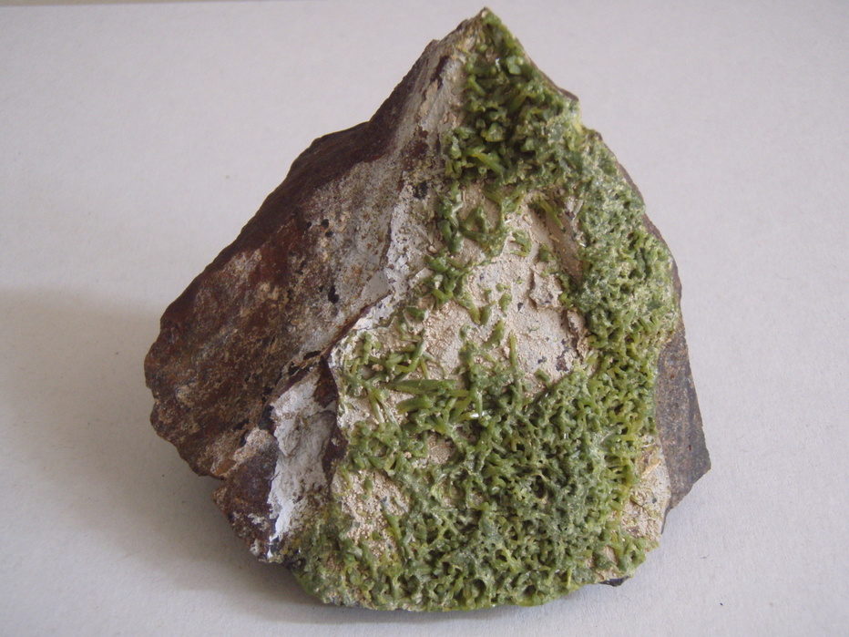
Mineral List
24 valid minerals.
Rock Types Recorded
Select Rock List Type
Alphabetical List Tree DiagramRegional Geology
This geological map and associated information on rock units at or nearby to the coordinates given for this locality is based on relatively small scale geological maps provided by various national Geological Surveys. This does not necessarily represent the complete geology at this locality but it gives a background for the region in which it is found.
Click on geological units on the map for more information. Click here to view full-screen map on Macrostrat.org
| Orosirian 1800 - 2050 Ma | Warramunga Formation Age: Orosirian (1800 - 2050 Ma) Stratigraphic Name: Warramunga Formation Description: Tuffaceous arenite/wacke ("metagreywacke") and siltstone; shale, including argillaceous banded ironstone ("haematite shale"); slate. Comments: sedimentary siliciclastic; synthesis of multiple published descriptions Lithology: Sedimentary siliciclastic Reference: Raymond, O.L., Liu, S., Gallagher, R., Zhang, W., Highet, L.M. Surface Geology of Australia 1:1 million scale dataset 2012 edition. Commonwealth of Australia (Geoscience Australia). [5] |
Data and map coding provided by Macrostrat.org, used under Creative Commons Attribution 4.0 License
References
Huston, DL, Bolger, C, and Cozens, G. (1993) A Comparison of mineral deposits at the Gecko and White Devil Deposits: implications for ore genesis in the Tennant Creek district, Northern Territory, Australia, Economic Geology, 89, p.1198-1223.
Ward, H.J. (1963) Report on the Black Angel-White Devil Group of Gold Mining Leases. Tennant Creek Goldfield, Northern Territory, Australia.
Williams, R.M., Ruhen, O. (1986) Beneath Whose Hand, 1986.
McKeown, M.R. (1949) Report on Black Angel and White Devil Leases. Tennant Creek, Northern Territory.
Lowe, A.L. (1943) "Black Angel" and "White Devil" Leases. Tennant Creek, N.T. (the information appears to be written by mine owner H.J. Turner).
External Links


White Devil Gold Mine, Tennant Creek, Barkly Region, Northern Territory, Australia