Redstone Arsenal, Madison Co., Alabama, USA
| Latitude & Longitude (WGS84): | 34° 41' 42'' North , 86° 39' 3'' West |
|---|---|
| Latitude & Longitude (decimal): | 34.69508,-86.65103 |
| Köppen climate type: | Cfa : Humid subtropical climate |
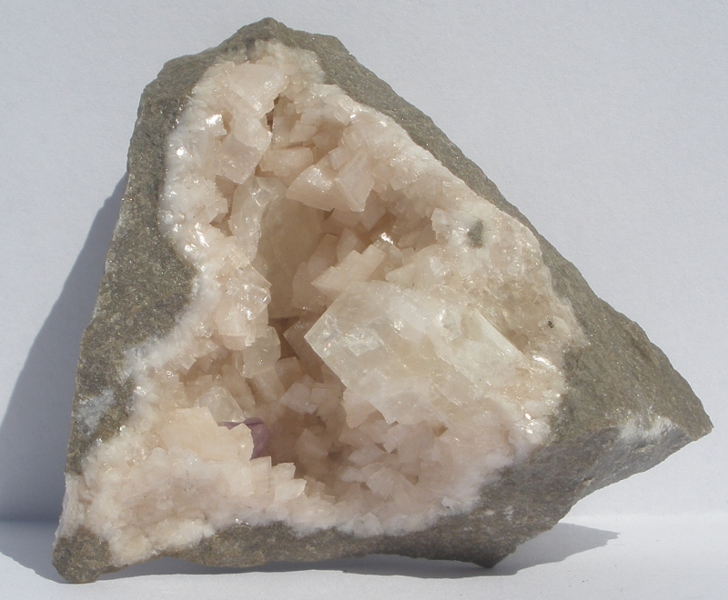
Flooded quarry near entrance to arsenal. 8 km SW of Huntsville
Mineral List
7 valid minerals.
Regional Geology
This geological map and associated information on rock units at or nearby to the coordinates given for this locality is based on relatively small scale geological maps provided by various national Geological Surveys. This does not necessarily represent the complete geology at this locality but it gives a background for the region in which it is found.
Click on geological units on the map for more information. Click here to view full-screen map on Macrostrat.org
| Paleozoic 252.17 - 541 Ma ID: 3187973 | Paleozoic sedimentary rocks Age: Paleozoic (252.17 - 541 Ma) Lithology: Sedimentary rocks Reference: Chorlton, L.B. Generalized geology of the world: bedrock domains and major faults in GIS format: a small-scale world geology map with an extended geological attribute database. doi: 10.4095/223767. Geological Survey of Canada, Open File 5529. [154] |
| Mississippian 323.2 - 358.9 Ma ID: 2750025 | Monteagle Limestone Age: Mississippian (323.2 - 358.9 Ma) Stratigraphic Name: Monteagle Limestone Description: Light-gray oolitic limestone containing interbedded argillaceous, bioclastic, or dolomitic limestone, dolomite, and medium-gray shale. Comments: Note: Printed map uses unit symbol 'Mm'; digital map uses 'MIm'. Lithology: Major:{limestone,dolostone,shale} Reference: Horton, J.D., C.A. San Juan, and D.B. Stoeser. The State Geologic Map Compilation (SGMC) geodatabase of the conterminous United States. doi: 10.3133/ds1052. U.S. Geological Survey Data Series 1052. [133] |
Data and map coding provided by Macrostrat.org, used under Creative Commons Attribution 4.0 License


Redstone Arsenal, Madison Co., Alabama, USA