Vågje Feldspar and Quartz Mine, Austre Moland, Arendal, Agder, Norwayi
| Regional Level Types | |
|---|---|
| Vågje Feldspar and Quartz Mine | Mine |
| Austre Moland | Municipality (Historical) |
| Arendal | Municipality |
| Agder | County |
| Norway | Country |
This page is currently not sponsored. Click here to sponsor this page.

Latitude & Longitude (WGS84):
58° 33' 35'' North , 8° 50' 30'' East
Latitude & Longitude (decimal):
Locality type:
Köppen climate type:
Nearest Settlements:
| Place | Population | Distance |
|---|---|---|
| Tvedestrand | 1,975 (2016) | 8.6km |
| Arendal | 30,916 (2017) | 11.7km |
| Rykene | 647 (2013) | 20.5km |
| Myra | 544 (2014) | 21.1km |
| Fevik | 4,989 (2014) | 22.4km |
Other/historical names associated with this locality:
Woie Gruver
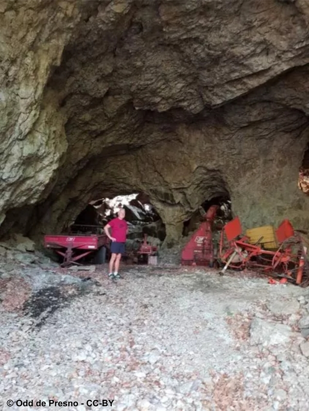
A feldspar/quartz mine that was started in 1885 and abandoned by the end of the 1950's.
After the first 7 years of mining a 95 meter long tunnel was blasted out, reaching the other side of the hill. After some people removed the supports, the west-end of the tunnel collapsed.
This is mine registered as a non-protected cultural heritage site (kulturminnesok.no nr. 224758-1).
Commodity List
This is a list of exploitable or exploited mineral commodities recorded at this locality.List of minerals for each chemical element
External Links
Other Regions, Features and Areas containing this locality
This page contains all mineral locality references listed on mindat.org. This does not claim to be a complete list. If you know of more minerals from this site, please register so you can add to our database. This locality information is for reference purposes only. You should never attempt to
visit any sites listed in mindat.org without first ensuring that you have the permission of the land and/or mineral rights holders
for access and that you are aware of all safety precautions necessary.


Vågje Feldspar and Quartz Mine, Austre Moland, Arendal, Agder, Norway