Canyon de Chelly National Monument, Apache County, Arizona, USAi
| Regional Level Types | |
|---|---|
| Canyon de Chelly National Monument | National Monument |
| Apache County | County |
| Arizona | State |
| USA | Country |
This page is currently not sponsored. Click here to sponsor this page.


Type:
Mindat Locality ID:
341374
Long-form identifier:
mindat:1:2:341374:9
GUID (UUID V4):
c64a47b8-5d71-4c8c-9473-ad7d20ff48eb
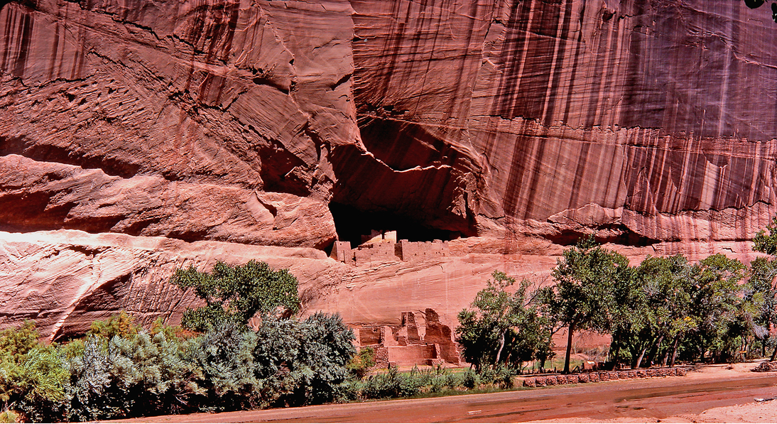
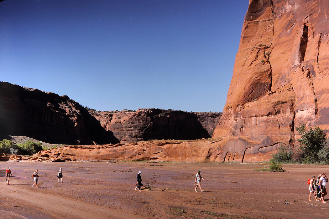
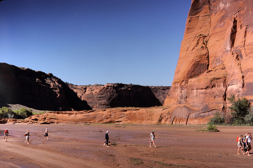
Canyon de Chelly National Monument, pronounced (CAN-yon deh SHAY), is located on the Navajo Reservation in the north east corner of Arizona. The Navajo Nation owns the land and the mineral rights and by agreement, the National Park Service manages visitor access to the canyon. The monument covers 83,840 acres (131 square miles; 339 km2) and encompasses the floors and rims of the three major canyons: de Chelly, del Muerto, and Monument. These canyons were cut by streams with headwaters in the Chuska Mountains just to the east of the monument.
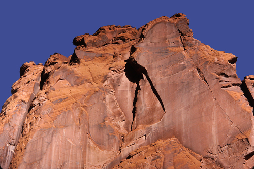
Geologically the canyon is on the Colorado Plateau and was carved by three tributaries that flowed from east to west and converged within the monument. Water still flows in the spring but by fall most of the riverbeds are dry. The depth of the canyon is about 700 feet and the vertical cliff face is composed of the Permian, De Chelly Sandstone. The cap rocks at the top of the cliffs are part of the Triassic, Shinarump Member of the Chinle Formation and are sometimes referred to as the Shinarump Conglomerate. The De Chelly Sandstone sits on a base of Supai Sandstone which is only visible near Spider Rock near the east end of the canyon. The prominent De Chelly Sandstone is a red fine grained aeolian deposit that shows many sand dune structures and large cross-bedding.
Canyon de Chelly has been occupied by humans for at least 5,000 years and the remains of their dwellings are well preserved. Currently a few Navajo families still live in the canyon.
Rock Types Recorded
Note: data is currently VERY limited. Please bear with us while we work towards adding this information!
Select Rock List Type
Alphabetical List Tree DiagramList of minerals for each chemical element
Fossils
This region is too big or complex to display the fossil list, try looking at smaller subregions.Other Databases
| Wikipedia: | https://en.wikipedia.org/wiki/Canyon_de_Chelly_National_Monument |
|---|---|
| Wikidata ID: | Q1034039 |
Other Regions, Features and Areas that Intersect
North America PlateTectonic Plate
- Baca BasinBasin
- Great Plains DomainDomain
USA
- Colorado PlateauPlateau
This page contains all mineral locality references listed on mindat.org. This does not claim to be a complete list. If you know of more minerals from this site, please register so you can add to our database. This locality information is for reference purposes only. You should never attempt to
visit any sites listed in mindat.org without first ensuring that you have the permission of the land and/or mineral rights holders
for access and that you are aware of all safety precautions necessary.
References


Canyon de Chelly National Monument, Apache County, Arizona, USA