Cargan, Co. Antrim, Northern Ireland, UKi
| Regional Level Types | |
|---|---|
| Cargan | Hamlet |
| Co. Antrim | County |
| Northern Ireland | Constituent Country |
| UK | Country |
This page is currently not sponsored. Click here to sponsor this page.


Latitude & Longitude (WGS84):
54° 59' 35'' North , 6° 10' 55'' West
Latitude & Longitude (decimal):
Type:
Köppen climate type:
Nearest Settlements:
| Place | Population | Distance |
|---|---|---|
| Glenariff | 1,286 (2016) | 9.7km |
| Broughshane | 2,581 (2016) | 11.3km |
| Carnlough | 1,427 (2016) | 12.2km |
| Cushendall | 1,226 (2016) | 12.3km |
| Dunloy | 1,091 (2016) | 14.7km |
Mindat Locality ID:
295168
Long-form identifier:
mindat:1:2:295168:6
GUID (UUID V4):
afa9963e-2d88-409b-b75a-0ea47a2f083f
Other/historical names associated with this locality:
Fisherstown
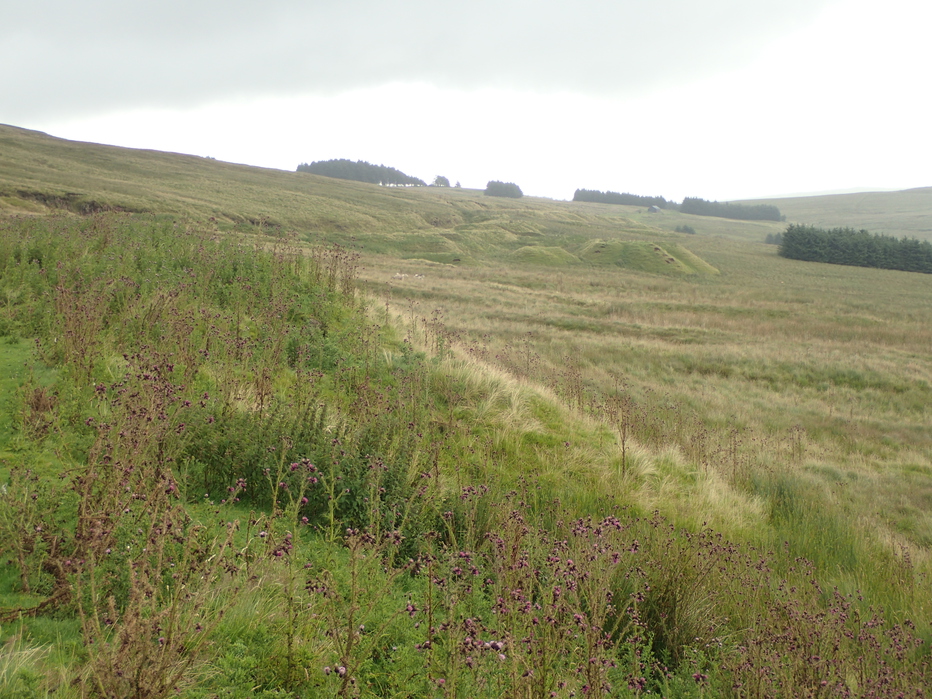
Cargan (from Irish: an Carraigín, meaning 'the small rock') is a hamlet and townland in County Antrim, Northern Ireland. It lies at the foot of Slievenanee in Glenravel – locally known as "The Tenth Glen" along with the more widely known nine Glens of Antrim. It is part of Mid and East Antrim district.
One of the earliest anglicisations of the townland of Cargan is Carrigan. In the late 1800s, the village of Cargan was known as Fisherstown. An iron ore mine was opened up around the same time. The ore was shipped to Barrow-in-Furness, first by horse, then from 1875 by railway to Ballymena. The railway closed in 1937.
An extensive area where multiple basalt deposits sandwich layers of weathered basalt clay material rich in iron and aluminium.
Iron mining was widespread after the mid 1800s. A detailed heritage report was published as:
The Iron Mines of Glenravel by Kevin J. O'Hagan, published by the Glens of Antrim Historical Society, Aug. 2016, vol 8 (1980) and can be found on-line and contains a detailed list of references.
Glenravel is close to Cargan and Newtown Crommelin, both towns largely established to exploit the iron ores. In 1866 over 6 months, 18000 tons of ore valued at £1/ton was shipped to England for smelting.
From the 1870s the value of bauxite as an aluminium ore became appreciated, but exploitation was mostly unsuccessful, though it continued until the mid-1920s. There was a short wartime revival 1940-1944, but nothing after that time.
Select Mineral List Type
Standard Detailed Gallery Strunz Chemical ElementsCommodity List
This is a list of exploitable or exploited mineral commodities recorded from this region.Mineral List
Mineral list contains entries from the region specified including sub-localities1 valid mineral.
Rock Types Recorded
Note: data is currently VERY limited. Please bear with us while we work towards adding this information!
Rock list contains entries from the region specified including sub-localities
Select Rock List Type
Alphabetical List Tree DiagramGallery:
List of minerals arranged by Strunz 10th Edition classification
| Group 4 - Oxides and Hydroxides | |||
|---|---|---|---|
| ⓘ | Hematite | 4.CB.05 | Fe2O3 |
Other Databases
| Wikipedia: | https://en.wikipedia.org/wiki/Cargan |
|---|---|
| Wikidata ID: | Q5039244 |
Localities in this Region
- Northern Ireland
- Co. Antrim
Other Regions, Features and Areas containing this locality
British and Irish IslesGroup of Islands
Eurasian PlateTectonic Plate
EuropeContinent
Ireland (island)Island
North Atlantic Igneous ProvinceLarge Igneous Province
This page contains all mineral locality references listed on mindat.org. This does not claim to be a complete list. If you know of more minerals from this site, please register so you can add to our database. This locality information is for reference purposes only. You should never attempt to
visit any sites listed in mindat.org without first ensuring that you have the permission of the land and/or mineral rights holders
for access and that you are aware of all safety precautions necessary.


Cargan, Co. Antrim, Northern Ireland, UK