GRN grid region: S26E82
A grid 'square' of approximately 160km x 160km, part of the Global Reference Network of 19,833 grid cells covering the Earth.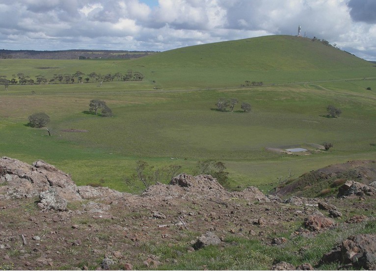

Northeast Corner:
37 30'0'' S , 145 50'41'' E ( -37.5,145.845 )
Southwest Corner:
39 0'0'' S , 144 4'1'' E ( -39,144.067 )
Climate:
Select Mineral List Type
Standard Detailed Gallery Strunz Chemical ElementsCommodity List
This is a list of exploitable or exploited mineral commodities recorded at this locality.Mineral List
134 valid minerals. 1 (TL) - type locality of valid minerals.
Rock Types Recorded
Note: data is currently VERY limited. Please bear with us while we work towards adding this information!
Select Rock List Type
Alphabetical List Tree DiagramLocalities within grid area
- Otway Basin
- Victoria
- ⭔Bass Coast Shire
- Cape Paterson
- Phillip Island
- San Remo
- Wonthaggi
- Baw Baw Shire
- ⭔Cardinia Shire
- City of Brimbank
- Keilor
- ?City of Casey
- City of Greater Geelong
- Anakie
- Barrabool Hills
- Batesford
- Fyansford
- ?City of Hume
- ?City of Manningham
- ?City of Maroondah
- City of Melbourne
- City of Melton
- ⭔City of Moonee Valley
- ?City of Moreland
- Brunswick
- Merri Creek
- ?City of Whittlesea
- ⭔Bass Coast Shire
- Victoria
- City of Whittlesea
- City of Yarra
- Flinders area
- French Island
- Golden Plains Shire
- Macedon Ranges
- Macedon Ranges Shire
- Moorabool Shire
- Blackwood
- Coimadai
- Darley
- Merrimu
- Morrisons
- Mount Egerton
- Parwan
- Pentland Hills
- ⭔Mornington Peninsula Shire
- Murrindindi Shire
- ⭔Selwyn Province
- South Gippsland Shire
- Surf Coast Shire
- Anglesea
- Barrabool Hills
- Bells Beach
- Torquay
- ⭔Yarra Ranges Shire


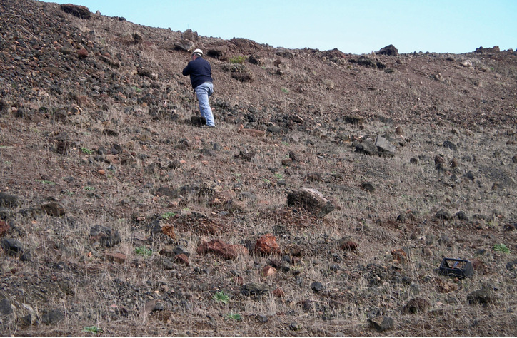
Mount Anakie, Anakie, City of Greater Geelong, Victoria, Australia