GRN grid region: S22W40
A grid 'square' of approximately 160km x 160km, part of the Global Reference Network of 19,833 grid cells covering the Earth.


Northeast Corner:
31 30'0'' S , 64 47'53'' W ( -31.5,-64.7983 )
Southwest Corner:
33 0'0'' S , 66 27'35'' W ( -33,-66.46 )
Select Mineral List Type
Standard Detailed Gallery Strunz Chemical ElementsCommodity List
This is a list of exploitable or exploited mineral commodities recorded at this locality.Mineral List
194 valid minerals. 7 (TL) - type locality of valid minerals.
Rock Types Recorded
Note: data is currently VERY limited. Please bear with us while we work towards adding this information!
Select Rock List Type
Alphabetical List Tree DiagramLocalities within grid area
- Córdoba Province
- Calamuchita Department
- Río de Los Sauces District
- Pocho Department
- Parroquia District
- Río Cuarto Department
- San Alberto Department
- Ambul District
- La Gloria pegmatite
- Tránsito District
- San Javier department
- La Juana pegmatite
- Rosas District
- San Javier District
- San Javier y Yacanto
- Calamuchita Department
- La Rioja Province
- Rosario Vera Peñaloza department
- San Luis Province
- Chacabuco Department
- Coronel Pringles Department
- San Luis Province
- Coronel Pringles Department
- El Trapiche
- Inti Huasi
- La Toma
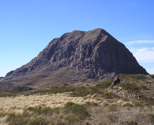
- Sololosta Mountain
- Totoral pegmatitic field
- Junín Department
- San Martín Department
- Cema pegmatite
- Las Aguadas
- Las Chacras
- Las Lagunas
- María Elena pegmatite
- Paso Grande
- ⭔Potrerillos
- San Martín
- Villa de Praga
- Sierra de Comechingones
- Coronel Pringles Department


Sololosta Mountain, Coronel Pringles Department, San Luis Province, Argentina