GRN grid region: S17W45
A grid 'square' of approximately 160km x 160km, part of the Global Reference Network of 19,833 grid cells covering the Earth.


Northeast Corner:
24 0'0'' S , 68 31'41'' W ( -24,-68.5283 )
Southwest Corner:
25 30'0'' S , 70 5'12'' W ( -25.5,-70.0867 )
Climate:
Select Mineral List Type
Standard Detailed Gallery Strunz Chemical ElementsCommodity List
This is a list of exploitable or exploited mineral commodities recorded at this locality.Mineral List
178 valid minerals. 13 (TL) - type locality of valid minerals. 1 erroneous literature entry.
Rock Types Recorded
Note: data is currently VERY limited. Please bear with us while we work towards adding this information!
Select Rock List Type
Alphabetical List Tree DiagramLocalities within grid area
- Antofagasta
- Antofagasta Province
- Antofagasta
- Augusta Victoria
- Baquedano
- Cachinal
- Canchas
- Cerro Palestina
- Estación Cerro Negro
- ⭔Cobija Punta Tames district
- Cuevitas
- Antofagasta Province
- Antofagasta
- Antofagasta Province
- ⭔Esperanza district
- Estación La Negra
- ⭔Filomena District
- La Negra-Coquimbana district
- Miraflores
- Santa Catalina
- Taltal
- El Loa Province
- Antofagasta Province


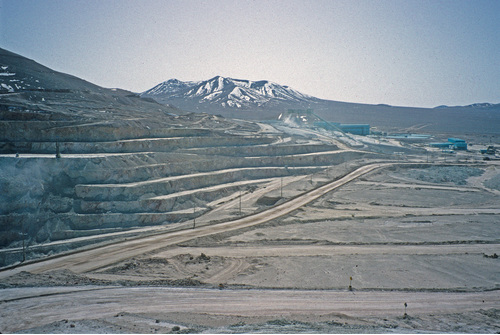
La Escondida Mine, Escondida, Antofagasta, Antofagasta Province, Antofagasta, Chile