GRN grid region: N45W48
A grid 'square' of approximately 160km x 160km, part of the Global Reference Network of 19,833 grid cells covering the Earth.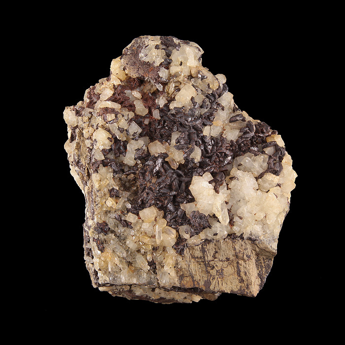
Northeast Corner:
67 30'0'' N , 157 5'24'' W ( 67.5,-157.09 )
Southwest Corner:
66 0'0'' N , 160 25'55'' W ( 66,-160.432 )
Climate:
Select Mineral List Type
Standard Detailed Gallery Strunz Chemical ElementsCommodity List
This is a list of exploitable or exploited mineral commodities recorded at this locality.Mineral List
35 valid minerals.
Rock Types Recorded
Note: data is currently VERY limited. Please bear with us while we work towards adding this information!
Select Rock List Type
Alphabetical List Tree DiagramLocalities within grid area
- Alaska
- ⭔Northwest Arctic Borough
- Ambler Mining District
- Brooks Range
- Fairhaven Mining District
- Kiana Mining District
- Agnes Creek Prospect
- Bear Creek Mine
- Central Creek Mine
- Cobre Prospect
- Gold Run Creek Prospect
- Homestake Creek Mine
- Hunt River Occurrence
- Jade Hills Occurrence
- Jade Mountain Mine
- Klery Creek Mine
- Kobuk River Prospect
- Sleet Creek Prospect
- Smucker Prospect (Charlie; Patti; Puzzle; Ambler 4-B)
- Unnamed; Cutler River Occurrence (ARDF - AR045)
- Unnamed Occurrence (ARDF - AR002)
- ⭔Northwest Arctic Borough
- Alaska
- Northwest Arctic Borough
- Kiana Mining District
- Lisburne Mining District
- Lisburne Mining District (Red Dog Mining District)
- Noatak Mining District
- Selawik Mining District
- Unnamed Occurrence (ARDF - SE001; on tributary to Hunt Creek)
- Unnamed Occurrence (ARDF - SE002; south of Inland Lake)
- Unnamed Occurrence (ARDF - SE003; in Selawik Hills)
- Unnamed Occurrence (ARDF - SE008; south of Selawik Lake)
- Uranium 1 Occurrence (in Selawik Hills)
- Uranium 4 Occurrence (in Selawik Hills)
- Shungnak Mining District
- Yukon-Koyukuk Census Area
- Selawik Mining District
- Shungnak Mining District
- Northwest Arctic Borough


Brooks Range, Northwest Arctic Borough, Alaska, USA