GRN grid region: N44W38
A grid 'square' of approximately 160km x 160km, part of the Global Reference Network of 19,833 grid cells covering the Earth.

Northeast Corner:
66 0'0'' N , 117 16'11'' W ( 66,-117.27 )
Southwest Corner:
64 30'0'' N , 120 26'23'' W ( 64.5,-120.44 )
Climate:
Select Mineral List Type
Standard Detailed Gallery Strunz Chemical ElementsCommodity List
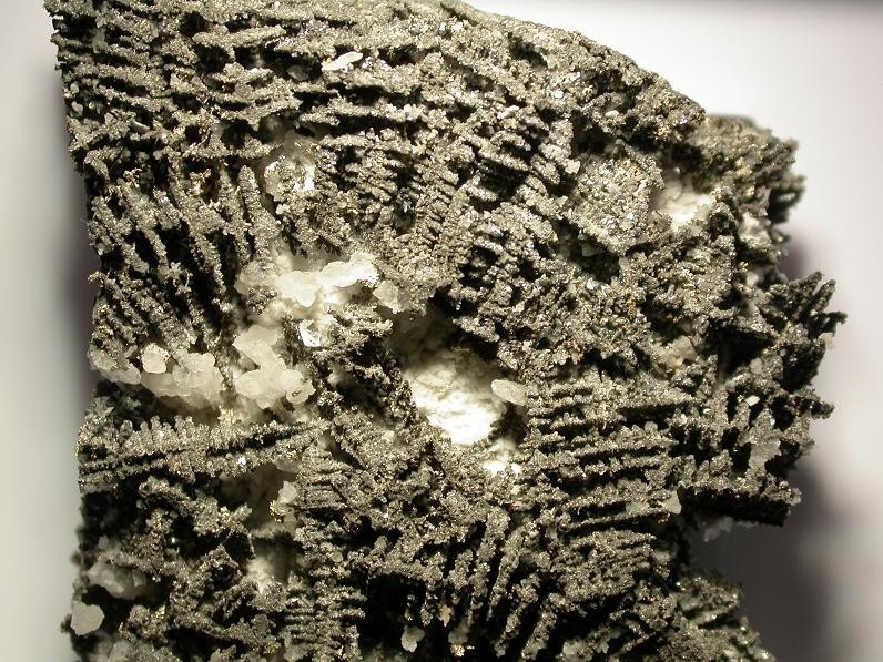
This is a list of exploitable or exploited mineral commodities recorded at this locality.Mineral List
63 valid minerals. 1 (TL) - type locality of valid minerals.
Rock Types Recorded
Note: data is currently VERY limited. Please bear with us while we work towards adding this information!
Select Rock List Type
Alphabetical List Tree DiagramLocalities within grid area
- Northwest Territories
- Northwest Territories
- Camsell River area
- ⭔Hottah Lake
- North Slave Region
- Great Bear Lake
- Port Radium District
- Terra mine
- Great Bear Lake


La Matre Falls Formation, Hottah Lake, Northwest Territories, Canada