GRN grid region: N41E03
A grid 'square' of approximately 160km x 160km, part of the Global Reference Network of 19,833 grid cells covering the Earth.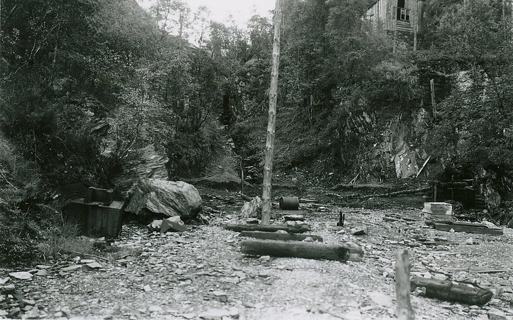


Northeast Corner:
61 30'0'' N , 8 15'42'' E ( 61.5,8.26167 )
Southwest Corner:
60 0'0'' N , 5 30'29'' E ( 60,5.50833 )
Select Mineral List Type
Standard Detailed Gallery Strunz Chemical ElementsCommodity List
This is a list of exploitable or exploited mineral commodities recorded at this locality.Mineral List
105 valid minerals.
Rock Types Recorded
Note: data is currently VERY limited. Please bear with us while we work towards adding this information!
Select Rock List Type
Alphabetical List Tree DiagramLocalities within grid area
- ⭔Hardangervidda National Park
- Vestland


Gravdal Mine, Kvam, Vestland, Norway