GRN grid region: N35W05
A grid 'square' of approximately 160km x 160km, part of the Global Reference Network of 19,833 grid cells covering the Earth.


Northeast Corner:
52 30'0'' N , 8 51'42'' W ( 52.5,-8.86167 )
Southwest Corner:
51 0'0'' N , 11 4'41'' W ( 51,-11.0783 )
Climate:
Select Mineral List Type
Standard Detailed Gallery Strunz Chemical ElementsCommodity List
This is a list of exploitable or exploited mineral commodities recorded at this locality.Mineral List
104 valid minerals. 1 (TL) - type locality of valid minerals.
Rock Types Recorded
Note: data is currently VERY limited. Please bear with us while we work towards adding this information!
Select Rock List Type
Alphabetical List Tree DiagramLocalities within grid area
- Munster
- Cork County
- Castletown-Bearhaven Copper Mines
- Clonakilty
- Dunmore
- Glandore
- Mizen Peninsula
- Aughadown/Leighcloon
- Ballydehob
- Brow Head Mine (Mullavoge Mine)
- Crookhaven
- Dereenalomane Mine
- Dhurode Mine (Carrigacat Mine)
- Letter
- Roaringwater Bay
- Schull
- Owenahincha
- Rosscarbery
- Cork County
- Munster
- Cork County
- Sheeps Head Peninsula
- Skibbereen
- The Municipal District of Kanturk – Mallow
- West Cork
- Kerry County
- Limerick County
- Cork County


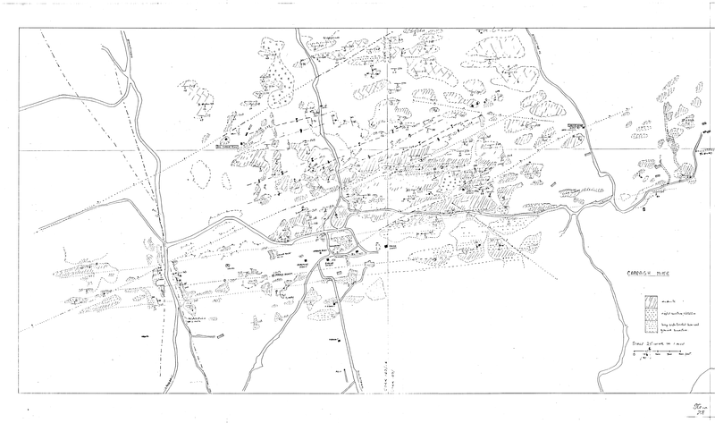
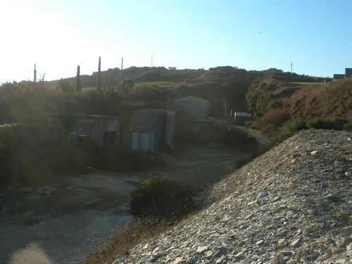
Lady's Well Mine, Dunmore, Clonakilty, Cork County, Munster, Ireland