GRN grid region: N04W52
A grid 'square' of approximately 160km x 160km, part of the Global Reference Network of 19,833 grid cells covering the Earth.


Northeast Corner:
6 0'0'' N , 73 29'5'' W ( 6,-73.485 )
Southwest Corner:
4 30'0'' N , 74 55'36'' W ( 4.5,-74.9267 )
Select Mineral List Type
Standard Detailed Gallery Strunz Chemical ElementsCommodity List
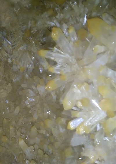
This is a list of exploitable or exploited mineral commodities recorded at this locality.Mineral List
20 valid minerals. 1 (TL) - type locality of valid minerals. 1 erroneous literature entry.
Rock Types Recorded
Note: data is currently VERY limited. Please bear with us while we work towards adding this information!
Select Rock List Type
Alphabetical List Tree DiagramLocalities within grid area
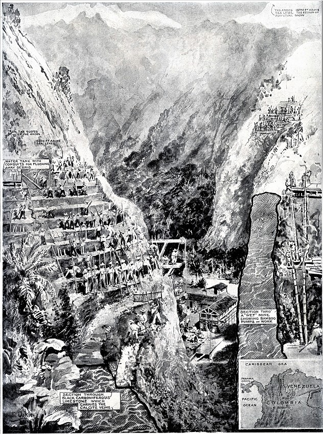
- Boyacá Department
- Western Boyacá Province
- Maripí
- Muzo Municipality
- Otanche
- Western Boyacá Province
- Boyacá Department
- Western Boyacá Province
- Pauna
- Quípama
- San Pablo de Borbur
- Western Boyacá Province
- Cundinamarca Department
- Gachalá
- Nemocón
- Supata
- Ubalá
- Zipaquirá
- Tolima Department
- Mariquita


Nemocón salt mine, Nemocón, Cundinamarca Department, Colombia