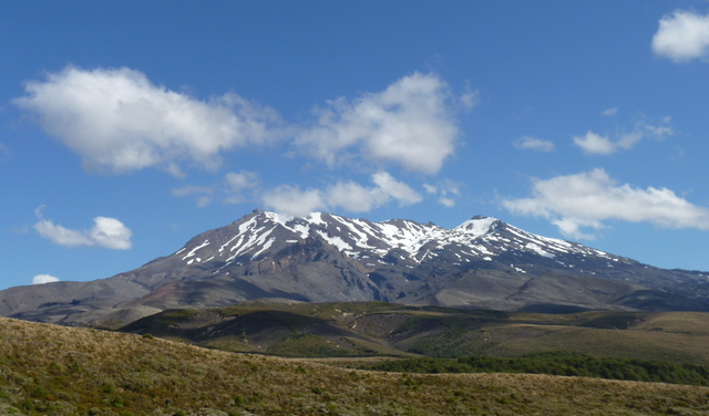
Mount Ruapehu, Tongariro National Park, Ruapehu District, Manawatu-Whanganui Region, New Zealand
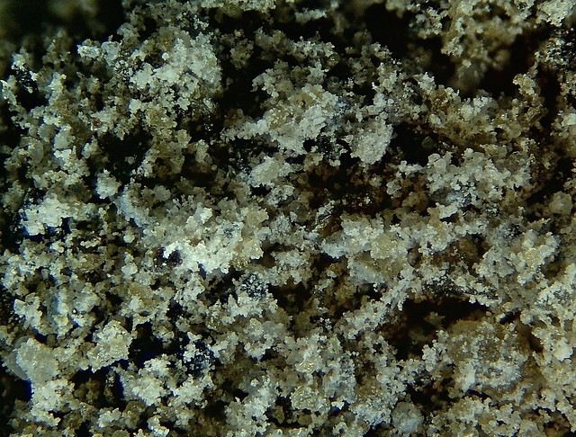
Andesitic ash from the July 1996 eruption. 5MP Chinese unbranded CMOS camera with bellows and Nikon 4X Plan Achromatic Objective Lens. Processed with Zerene stacker DMap and post stacking cleanup with Faststone. Collection and photograph of Rod Martin
© R.J.Martin
Ruapehu is known for its frequent lahars (volcanic mudflows). This photo shows two successive lahar deposits found on the flanks of the volcano. The white staff at the left side of the photo is 1 metre. Ruapehu is located at the south end of the Taupo Volcanic Zone. It is an andesitic volcano that has grown over the past 300,000 years. It is one ...
© Nathalie Brandes
Crater Lake, Mount Ruapehu, Tongariro National Park, Ruapehu District, Manawatu-Whanganui Region, New Zealand
Aerial view of the greenish crater lake on Mount Ruapehu. Some rather dirty-looking snow shows that the volcano had been blowing ash. Photo taken by Stan Rowe on January 8th 1984.
© Judy Rowe
Mount Ruapehu with a covering of snow. A view taken in October 2004 from the town of Ohakune.
Mt Ruapehu from Tongariro Northern Circuit in January 2015. (From Wikipedia.)
© Michal Klajban