| Locality | Latitude | Longitude | Distance | Bearing |
|---|
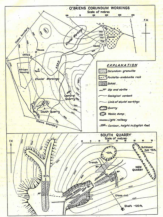
| O'Brian prospect, Mazowe District, Mashonaland Central, Zimbabwe | 17° 24' 18" S | 30° 55' 27" E | 5.1km (3.2 miles) | |
| Connaught Mine, Mazowe District, Mashonaland Central, Zimbabwe | 17° 24' 29" S | 30° 55' 23" E | 5.4km (3.4 miles) | |
| Thorny Mine, Mazowe District, Mashonaland Central, Zimbabwe | 17° 16' 59" S | 30° 55' 59" E | 9.4km (5.9 miles) | |
| Mazowe Mine [including Jumbo Mine], Mazowe gold field, Mazowe District, Mashonaland Central, Zimbabwe | 17° 28' 0" S | 30° 55' 59" E | 11.3km (7.0 miles) | |
| Scheelite King Mine, Mazowe gold field, Mazowe District, Mashonaland Central, Zimbabwe | 17° 28' 59" S | 30° 53' 58" E | 14.0km (8.7 miles) | |
| Iron Duke Mine, Mazowe District, Mashonaland Central, Zimbabwe | 17° 26' 25" S | 31° 3' 57" E | 14.8km (9.2 miles) | |
| Mazowe gold field, Mazowe District, Mashonaland Central, Zimbabwe | 17° 30' 25" S | 30° 58' 32" E | 15.9km (9.9 miles) | |
| Alice Mine, Mazowe gold field, Mazowe District, Mashonaland Central, Zimbabwe | 17° 30' 53" S | 30° 57' 50" E | 16.5km (10.3 miles) | |
| Bernheim Mine, Mazowe gold field, Mazowe District, Mashonaland Central, Zimbabwe | 17° 31' 0" S | 30° 56' 59" E | 16.7km (10.4 miles) | |
| Yellow Jacket Mine, Mazowe District, Mashonaland Central, Zimbabwe | 17° 28' 48" S | 31° 6' 3" E | 20.4km (12.7 miles) | |
| First Hope Mine, Mazowe District, Mashonaland Central, Zimbabwe | 17° 34' 59" S | 30° 58' 59" E | 24.3km (15.1 miles) | |
| Empress Mine, Mazowe District, Mashonaland Central, Zimbabwe | 17° 37' 0" S | 31° 3' 0" E | 29.8km (18.5 miles) | |
| Jack claims, Enterprise tin field, Harare, Zimbabwe | 17° 35' 57" S | 31° 6' 1" E | 30.4km (18.9 miles) | |
| Augustus pegmatite, Mazowe District, Mashonaland Central, Zimbabwe | 17° 37' 8" S | 31° 5' 7" E | 31.5km (19.6 miles) | |
| Mistress Mine, Mazowe District, Mashonaland Central, Zimbabwe | 17° 37' 20" S | 31° 5' 35" E | 32.3km (20.0 miles) | |
| Mauve pegmatite, Goromonzi District, Mashonaland East, Zimbabwe | 17° 37' 59" S | 31° 7' 0" E | 34.5km (21.4 miles) | |
| Trojan Nickel Mine, Bindura District, Mashonaland Central, Zimbabwe | 17° 19' 55" S | 31° 16' 53" E | 35.4km (22.0 miles) | |
| Freda Pit, Freda Rebecca Mine, Bindura District, Mashonaland Central, Zimbabwe | 17° 17' 47" S | 31° 17' 46" E | 37.6km (23.3 miles) | |
| Rebecca Pit, Freda Rebecca Mine, Bindura District, Mashonaland Central, Zimbabwe | 17° 18' 1" S | 31° 17' 54" E | 37.7km (23.4 miles) | |
| Mutorashanga, Zvimba District, Mashonaland West, Zimbabwe | 17° 8' 26" S | 30° 40' 49" E | 38.1km (23.7 miles) | |
| Promoter Pit, Freda Rebecca Mine, Bindura District, Mashonaland Central, Zimbabwe | 17° 17' 46" S | 31° 18' 7" E | 38.2km (23.7 miles) | |
| Freda Rebecca Mine, Bindura District, Mashonaland Central, Zimbabwe | 17° 17' 47" S | 31° 18' 31" E | 38.9km (24.1 miles) | |
| Phoenix Prince Pits, Freda Rebecca Mine, Bindura District, Mashonaland Central, Zimbabwe | 17° 18' 41" S | 31° 18' 54" E | 39.2km (24.4 miles) | |
| Muriel Mine, Zvimba District, Mashonaland West, Zimbabwe | 17° 14' 43" S | 30° 35' 52" E | 39.7km (24.7 miles) | |
| Feock Mine, Zvimba District, Mashonaland West, Zimbabwe | 17° 6' 0" S | 30° 40' 59" E | 41.0km (25.5 miles) | |
| Ethel Mine, Mutorashanga, Zvimba District, Mashonaland West, Zimbabwe | 17° 3' 54" S | 30° 42' 24" E | 42.3km (26.3 miles) | |
| Jester, Guruve District, Mashonaland Central, Zimbabwe | 17° 3' 0" S | 30° 43' 30" E | 42.6km (26.4 miles) | |
| Atherstone Mine, Bindura District, Mashonaland Central, Zimbabwe | 17° 19' 59" S | 31° 21' 0" E | 42.6km (26.5 miles) | |
| Rane Mine, Bindura District, Mashonaland Central, Zimbabwe | 17° 18' 20" S | 31° 20' 51" E | 42.7km (26.6 miles) | |
| RAN Mine, Bindura District, Mashonaland Central, Zimbabwe | 17° 17' 31" S | 31° 20' 43" E | 42.8km (26.6 miles) | |
Minerals recorded nearby (within 20 km)
Rock types recorded nearby (within 20 km)
Entries shown in red are rocks recorded for this region.


O'Brian prospect, Mazowe District, Mashonaland Central, Zimbabwe