| Locality | Latitude | Longitude | Distance | Bearing |
|---|
| Trevena Manganese Mine, Tintagel, Cornwall, England, UK | 50° 39' 47" N | 4° 45' 8" W | 0.1km (0.1 miles) | |
| Tintagel Cliffs, Tintagel, Cornwall, England, UK | 50° 39' 56" N | 4° 45' 34" W | 0.7km (0.4 miles) | |
| Tintagel Beach, Tintagel, Cornwall, England, UK | 50° 40' 2" N | 4° 45' 30" W | 0.7km (0.5 miles) | |
| Barras Nose, Tintagel, Cornwall, England, UK | 50° 40' 16" N | 4° 45' 15" W | 0.9km (0.6 miles) | |
| Hole Beach, Treknow, Tintagel, Cornwall, England, UK | 50° 39' 3" N | 4° 45' 30" W | 1.5km (0.9 miles) | |
| Lanterdan Quarry, Treknow, Tintagel, Cornwall, England, UK | 50° 39' 1" N | 4° 45' 30" W | 1.5km (1.0 miles) | |
| Treknow, Tintagel, Cornwall, England, UK | 50° 38' 57" N | 4° 45' 5" W | 1.6km (1.0 miles) | |
| Trebarwith Strand, Trebarwith, Tintagel, Cornwall, England, UK | 50° 38' 44" N | 4° 45' 40" W | 2.1km (1.3 miles) | |
| Trevillet Quarry, Tintagel, Cornwall, England, UK | 50° 39' 41" N | 4° 42' 54" W | 2.5km (1.6 miles) | |
| Prince of Wales Quarry (North Delabole Quarry), Tintagel, Cornwall, England, UK | 50° 38' 34" N | 4° 43' 43" W | 2.7km (1.7 miles) | |
| Backways Cove, Trebarwith, Tintagel, Cornwall, England, UK | 50° 38' 21" N | 4° 45' 59" W | 2.9km (1.8 miles) | |
| Trebarwith Quarry, Trebarwith, Tintagel, Cornwall, England, UK | 50° 37' 59" N | 4° 43' 59" W | 3.6km (2.2 miles) | |
| Tregardock Mine (Tregarget Mine), Treligga, St Teath, Cornwall, England, UK | 50° 37' 23" N | 4° 46' 10" W | 4.7km (2.9 miles) | |
| Delabole Slate Quarry, St Teath, Cornwall, England, UK | 50° 37' 19" N | 4° 43' 18" W | 5.0km (3.1 miles) | |
| Trerubies Cliff, Treligga, St Teath, Cornwall, England, UK | 50° 37' 11" N | 4° 46' 26" W | 5.1km (3.2 miles) | |
| Barrett 's Zawn, St Teath, Cornwall, England, UK | 50° 36' 6" N | 4° 47' 17" W | 7.3km (4.6 miles) | |
| Treroosel Mine (Trerosal Mine), St Teath, Cornwall, England, UK | 50° 35' 38" N | 4° 44' 49" W | 7.7km (4.8 miles) | |
| Tregoodwell adit, Advent, Cornwall, England, UK | 50° 37' 32" N | 4° 39' 24" W | 7.8km (4.8 miles) | |
| Bounds Cliff, St Endellion, Cornwall, England, UK | 50° 35' 50" N | 4° 47' 42" W | 8.0km (5.0 miles) | |
| Whitewell Mine, St Teath, Cornwall, England, UK | 50° 35' 22" N | 4° 44' 43" W | 8.2km (5.1 miles) | |
| Treburgett Mine, St Teath, Cornwall, England, UK | 50° 35' 9" N | 4° 44' 47" W | 8.6km (5.3 miles) | |
| Tresungers Point (incl. Tartar Cove), St Endellion, Cornwall, England, UK | 50° 35' 44" N | 4° 48' 52" W | 8.8km (5.4 miles) | |
| Old Treburgett Mine, St Teath, Cornwall, England, UK | 50° 34' 59" N | 4° 44' 51" W | 8.9km (5.5 miles) | |
| Tregeare Consols (Wheal Prockter), Trewane United Mine, St Kew, Cornwall, England, UK | 50° 35' 3" N | 4° 46' 39" W | 9.0km (5.6 miles) | |
| Treore Mine, St Endellion, Cornwall, England, UK | 50° 35' 10" N | 4° 47' 55" W | 9.2km (5.7 miles) | |
| South Treburgett Mine, St Teath, Cornwall, England, UK | 50° 34' 46" N | 4° 44' 46" W | 9.3km (5.8 miles) | |
| Port Gaverne, St Endellion, Cornwall, England, UK | 50° 35' 36" N | 4° 49' 27" W | 9.3km (5.8 miles) | |
| Pendogget Mine, St Kew, Cornwall, England, UK | 50° 35' 4" N | 4° 47' 55" W | 9.4km (5.8 miles) | |
| Port Isaac Cliffs, Port Isaac, St Endellion, Cornwall, England, UK | 50° 35' 43" N | 4° 49' 49" W | 9.4km (5.9 miles) | |
| Port Isaac, St Endellion, Cornwall, England, UK | 50° 35' 37" N | 4° 49' 47" W | 9.5km (5.9 miles) | |


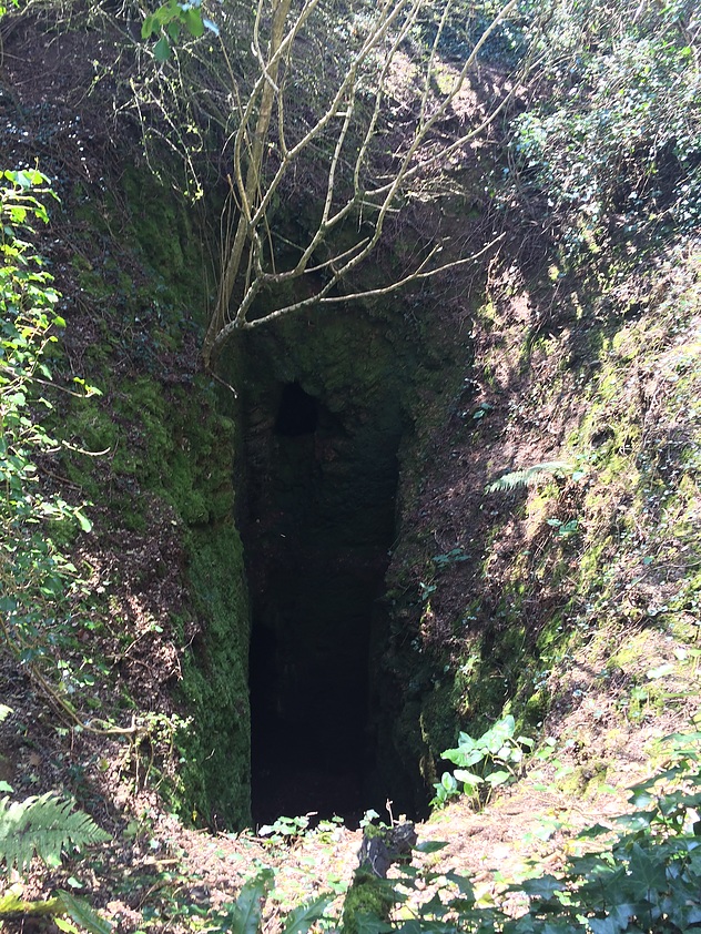


Tregoodwell adit, Advent, Cornwall, England, UK