| Locality | Latitude | Longitude | Distance | Bearing |
|---|
| Erie Boulevard, Dewitt, Onondaga County, New York, USA | 43° 3' 15" N | 76° 4' 45" W | 7.2km (4.5 miles) | |
| Cicero clay pits, Cicero, Onondaga County, New York, USA | 43° 9' 35" N | 76° 6' 2" W | 7.8km (4.8 miles) | |
| Interstate highway 81 interchange, Cicero, Onondaga County, New York, USA | 43° 10' 32" N | 76° 6' 56" W | 9.0km (5.6 miles) | |
| Dewitt, Onondaga County, New York, USA | 43° 2' 5" N | 76° 3' 56" W | 9.5km (5.9 miles) | |
| Split Rock, Town of Onondaga, Onondaga County, New York, USA | 43° 1' 27" N | 76° 13' 23" W | 10.4km (6.4 miles) | |
| Railroad cut, Fayetteville, Onondaga County, New York, USA | 43° 2' 59" N | 76° 0' 21" W | 12.5km (7.8 miles) | |
| Jamesville, Onondaga County, New York, USA | 42° 59' 30" N | 76° 4' 18" W | 13.2km (8.2 miles) | |
| Nedrow, Onondaga County, New York, USA | 42° 58' 30" N | 76° 8' 29" W | 13.7km (8.5 miles) | |
| Fayetteville, Onondaga County, New York, USA | 43° 1' 59" N | 76° 0' 0" W | 13.8km (8.6 miles) | |
| Gates Road Quarry (Jamesville Rock Quarry), Jamesville, Onondaga County, New York, USA | 42° 59' 11" N | 76° 2' 30" W | 15.0km (9.3 miles) | |
| Route 13 roadcut, Chittenango Falls, Fenner Township, Madison County, New York, USA | 43° 0' 0" N | 75° 50' 59" W | 26.3km (16.4 miles) | |
| Tully, Onondaga County, New York, USA | 42° 49' 59" N | 76° 7' 59" W | 29.4km (18.3 miles) | |
| Hillsboro, Oneida County, New York, USA | 43° 19' 59" N | 75° 49' 50" W | 36.5km (22.7 miles) | |
| Owasco Creek locality, Auburn, Cayuga County, New York, USA | 42° 56' 0" N | 76° 33' 59" W | 38.8km (24.1 miles) | |
| Sherrill, Oneida County, New York, USA | 43° 4' 30" N | 75° 35' 59" W | 44.3km (27.6 miles) | |
| Montezuma, Cayuga County, New York, USA | 43° 0' 59" N | 76° 41' 59" W | 46.0km (28.6 miles) | |
| Morrisville, Madison County, New York, USA | 42° 54' 0" N | 75° 37' 59" W | 47.1km (29.3 miles) | |
| Furnaceville Iron Company Mine, Sterling Station, Cayuga County, New York, USA | 43° 17' 59" N | 76° 39' 59" W | 47.9km (29.7 miles) | |
| Fair Haven Mines, Sterling Station, Cayuga County, New York, USA | 43° 17' 59" N | 76° 40' 30" W | 48.5km (30.1 miles) | |
| Vernon, Oneida County, New York, USA | 43° 4' 46" N | 75° 32' 22" W | 49.2km (30.6 miles) | |
| Savannah, Wayne County, New York, USA | 43° 3' 59" N | 76° 45' 29" W | 49.9km (31.0 miles) | |
| Seneca Falls meteorite, Seneca River, Seneca County, New York, USA | 42° 55' 0" N | 76° 46' 59" W | 55.7km (34.6 miles) | |
| Clyde, Wayne County, New York, USA | 43° 4' 59" N | 76° 52' 0" W | 58.6km (36.4 miles) | |
| Westmoreland, Oneida County, New York, USA | 43° 6' 58" N | 75° 24' 15" W | 60.2km (37.4 miles) | |
| Root Glen, Clinton, Oneida County, New York, USA | 43° 2' 53" N | 75° 24' 18" W | 60.4km (37.5 miles) | |
| Borst Mines, Clinton, Oneida County, New York, USA | 43° 2' 59" N | 75° 22' 59" W | 62.1km (38.6 miles) | |
| Franklin Iron Manufacturing Company Mines, Clinton, Oneida County, New York, USA | 43° 2' 59" N | 75° 22' 59" W | 62.1km (38.6 miles) | |
| Rock Salt Corp. Mine (Cayuga Salt Mine), Portland Point, Lansing, Tompkins County, New York, USA | 42° 31' 0" N | 76° 31' 0" W | 71.4km (44.4 miles) | |
| Oaks Corners, Ontario County, New York, USA | 42° 55' 55" N | 77° 0' 45" W | 72.9km (45.3 miles) | |
| Oaks Corners Quarry (General Crushed Stone Company Quarry), Oaks Corners, Ontario County, New York, USA | 42° 56' 0" N | 77° 1' 0" W | 73.2km (45.5 miles) | |

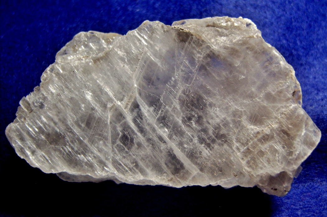


Cicero clay pits, Cicero, Onondaga County, New York, USA