| Locality | Latitude | Longitude | Distance | Bearing |
|---|
| Cooley Hill Iron prospects, Easton, Grafton County, New Hampshire, USA | 44° 9' 15" N | 71° 49' 21" W | 3.2km (2.0 miles) | |
| Coppermine Brook Mine, Franconia, Grafton County, New Hampshire, USA | 44° 10' 37" N | 71° 44' 53" W | 3.5km (2.2 miles) | |
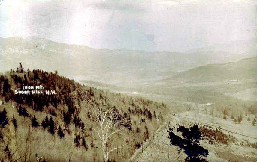
| Ore Hill, Sugar Hill, Grafton County, New Hampshire, USA | 44° 11' 57" N | 71° 47' 29" W | 4.8km (3.0 miles) | |
| Cannon Mountain, Franconia, Grafton County, New Hampshire, USA | 44° 9' 23" N | 71° 41' 53" W | 6.7km (4.1 miles) | |
| Cobble Hill Summit locality, Landaff, Grafton County, New Hampshire, USA | 44° 7' 50" N | 71° 51' 47" W | 7.1km (4.4 miles) | |
| Garnet Hill locality, Sugar Hill, Grafton County, New Hampshire, USA | 44° 13' 42" N | 71° 47' 40" W | 8.1km (5.0 miles) | |
| Pond Hill locality, Lisbon, Grafton County, New Hampshire, USA | 44° 11' 55" N | 71° 52' 10" W | 8.4km (5.2 miles) | |
| Wildwood Campground, Route 112, Easton, Grafton County, New Hampshire, USA | 44° 4' 32" N | 71° 47' 35" W | 9.0km (5.6 miles) | |
| Route 112, Easton, Grafton County, New Hampshire, USA | 44° 4' 31" N | 71° 47' 42" W | 9.1km (5.6 miles) | |
| Northey Hill locality(s), Sugar Hill, Grafton County, New Hampshire, USA | 44° 14' 9" N | 71° 49' 4" W | 9.3km (5.8 miles) | |
| Mill Brook, Landaff, Grafton County, New Hampshire, USA | 44° 10' 34" N | 71° 54' 26" W | 10.2km (6.4 miles) | |
| Mount Lafayette, Franconia, Grafton County, New Hampshire, USA | 44° 9' 24" N | 71° 38' 26" W | 11.3km (7.0 miles) | |
| Mount Blue, Benton, Grafton County, New Hampshire, USA | 44° 1' 50" N | 71° 49' 13" W | 14.3km (8.9 miles) | |
| Black Mountain, Benton, Grafton County, New Hampshire, USA | 44° 4' 26" N | 71° 55' 12" W | 14.3km (8.9 miles) | |
| Ammonoosuc River, Bath, Grafton County, New Hampshire, USA | 44° 10' 16" N | 71° 57' 57" W | 14.8km (9.2 miles) | |
| Mount Moosilauke, Benton, Grafton County, New Hampshire, USA | 44° 1' 28" N | 71° 49' 53" W | 15.2km (9.4 miles) | |
| Littleton Hospital construction site, Littleton, Grafton County, New Hampshire, USA | 44° 19' 7" N | 71° 49' 34" W | 18.4km (11.4 miles) | |
| Stevens mine, Bath, Grafton County, New Hampshire, USA | 44° 13' 28" N | 72° 0' 29" W | 19.6km (12.2 miles) | |
| Haviland mine, Bath, Grafton County, New Hampshire, USA | 44° 14' 17" N | 71° 59' 59" W | 19.6km (12.2 miles) | |
| Woodstock Silver Mine, Woodstock, Grafton County, New Hampshire, USA | 43° 59' 30" N | 71° 41' 20" W | 19.8km (12.3 miles) | |
| Mount Guyot locality, Lincoln, Grafton County, New Hampshire, USA | 44° 10' 5" N | 71° 32' 2" W | 19.8km (12.3 miles) | |
| Lang mine, Bath, Grafton County, New Hampshire, USA | 44° 13' 31" N | 72° 0' 49" W | 20.0km (12.4 miles) | |
| Mount Bond locality, Lincoln, Grafton County, New Hampshire, USA | 44° 9' 10" N | 71° 31' 51" W | 20.0km (12.4 miles) | |
| Paddock mine, Lyman, Grafton County, New Hampshire, USA | 44° 16' 45" N | 71° 58' 2" W | 20.1km (12.5 miles) | |
| Oliverian Station locality, Haverhill, Grafton County, New Hampshire, USA | 44° 1' 31" N | 71° 58' 13" W | 20.9km (13.0 miles) | |
| Twin Mountain Quarry, Carroll, Coos County, New Hampshire, USA | 44° 17' 41" N | 71° 33' 13" W | 23.8km (14.8 miles) | |
| Morris Brook, Pike, Haverill, Grafton County, New Hampshire, USA | 44° 1' 45" N | 72° 2' 5" W | 24.7km (15.3 miles) | |
| Carroll, Coos County, New Hampshire, USA | 44° 17' 53" N | 71° 32' 26" W | 24.9km (15.5 miles) | |
| Baker River, Warren, Grafton County, New Hampshire, USA | 43° 55' 19" N | 71° 53' 24" W | 27.5km (17.1 miles) | |
| Whitefield, Coos County, New Hampshire, USA | 44° 22' 23" N | 71° 36' 43" W | 27.6km (17.2 miles) | |


Pond Hill locality, Lisbon, Grafton County, New Hampshire, USA