| Locality | Latitude | Longitude | Distance | Bearing |
|---|
| Grave Copper Mine, Kviteseid, Telemark, Norway | 59° 24' 28" N | 8° 25' 55" E | 3.5km (2.2 miles) | |
| Haukom Quarry, Kviteseid, Telemark, Norway | 59° 24' 5" N | 8° 33' 56" E | 4.1km (2.6 miles) | |
| Lundevassdalen, Kviteseid, Telemark, Norway | 59° 25' 36" N | 8° 24' 17" E | 5.7km (3.5 miles) | |
| Listaulli Mine, Kviteseid, Telemark, Norway | 59° 24' 53" N | 8° 22' 59" E | 6.3km (3.9 miles) | |
| Eiang Prospect, Kviteseid, Telemark, Norway | 59° 23' 51" N | 8° 36' 27" E | 6.5km (4.1 miles) | |
| Bjørgostaul Prospects, Kviteseid, Telemark, Norway | 59° 24' 49" N | 8° 22' 0" E | 7.2km (4.5 miles) | |
| Bygstøl Mine, Kviteseid, Telemark, Norway | 59° 24' 50" N | 8° 20' 36" E | 8.5km (5.3 miles) | |
| Bergland Mine, Morgedal, Kviteseid, Telemark, Norway | 59° 28' 35" N | 8° 25' 29" E | 9.1km (5.7 miles) | |
| Bygland Mines, Morgedal, Kviteseid, Telemark, Norway | 59° 28' 8" N | 8° 24' 0" E | 9.1km (5.7 miles) | |
| Kjerstøl Mine, Dalane copper and silver mines, Kviteseid, Telemark, Norway | 59° 27' 42" N | 8° 22' 39" E | 9.3km (5.8 miles) | |
| Vrådal, Kviteseid, Telemark, Norway | 59° 19' 40" N | 8° 24' 59" E | 9.3km (5.8 miles) | |
| Morgedal, Kviteseid, Telemark, Norway | 59° 28' 39" N | 8° 24' 34" E | 9.6km (6.0 miles) | |
| Donstadskog Mine, Kviteseid, Telemark, Norway | 59° 23' 21" N | 8° 19' 27" E | 9.6km (6.0 miles) | |
| Aspestigen Mine, Dalane copper and silver mines, Kviteseid, Telemark, Norway | 59° 27' 22" N | 8° 21' 25" E | 9.7km (6.1 miles) | |
| Spennivegg Mine, Dalane copper and silver mines, Kviteseid, Telemark, Norway | 59° 27' 18" N | 8° 21' 16" E | 9.8km (6.1 miles) | |
| Haugjuvet Mine, Dalane copper and silver mines, Kviteseid, Telemark, Norway | 59° 27' 12" N | 8° 20' 51" E | 10.0km (6.2 miles) | |
| Murtedalen Copper Prospect, Seljord, Telemark, Norway | 59° 24' 53" N | 8° 41' 5" E | 11.0km (6.8 miles) | |
| Åmli Mine, Vestgruben Mines, Morgedal, Kviteseid, Telemark, Norway | 59° 29' 1" N | 8° 22' 23" E | 11.3km (7.0 miles) | |
| Gammelnystaul, Morgedal, Kviteseid, Telemark, Norway | 59° 29' 21" N | 8° 22' 44" E | 11.6km (7.2 miles) | |
| Gamlestøl Mine, Vestgruben Mines, Morgedal, Kviteseid, Telemark, Norway | 59° 29' 11" N | 8° 22' 11" E | 11.7km (7.2 miles) | |
| Kivledalen, Seljord, Telemark, Norway | 59° 29' 55" N | 8° 35' 44" E | 12.2km (7.6 miles) | |
| Flekstveit prospects, Lårdal, Tokke, Telemark, Norway | 59° 24' 46" N | 8° 16' 34" E | 12.3km (7.6 miles) | |
| Årus prospect, Kviteseid, Telemark, Norway | 59° 21' 14" N | 8° 17' 37" E | 12.5km (7.8 miles) | |
| Hanekamgjuvet, Kivledalen, Seljord, Telemark, Norway | 59° 30' 25" N | 8° 34' 22" E | 12.5km (7.8 miles) | |
| Tarjeisberget molybdenium deposit, Kviteseid, Telemark, Norway | 59° 17' 5" N | 8° 29' 22" E | 13.0km (8.1 miles) | |
| Berge Mine, Kviteseid, Telemark, Norway | 59° 20' 0" N | 8° 17' 53" E | 13.4km (8.3 miles) | |
| Mostøyl Mine, Tokke, Telemark, Norway | 59° 29' 26" N | 8° 19' 12" E | 13.9km (8.6 miles) | |
| Åbø Prospect, Kviteseid, Telemark, Norway | 59° 29' 3" N | 8° 18' 0" E | 14.2km (8.8 miles) | |
| Eisand Copper Prospect, Seljord, Telemark, Norway | 59° 30' 42" N | 8° 37' 45" E | 14.4km (9.0 miles) | |
| Gullnes Copper Mines, Seljord, Telemark, Norway | 59° 31' 54" N | 8° 27' 4" E | 14.6km (9.1 miles) | |
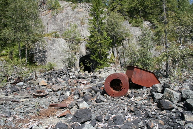

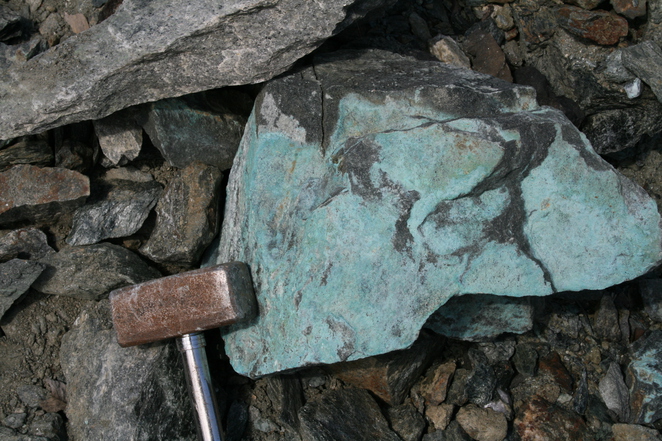


Listaulli Mine, Kviteseid, Telemark, Norway