| Locality | Latitude | Longitude | Distance | Bearing |
|---|
| Basalt quarry, Pauliberg, Markt Sankt Martin, Oberpullendorf District, Burgenland, Austria | 47° 35' 2" N | 16° 20' 33" E | 3.9km (2.4 miles) | |
| Pauliberg, Markt Sankt Martin, Oberpullendorf District, Burgenland, Austria | 47° 35' 4" N | 16° 20' 20" E | 4.1km (2.6 miles) | |
| Schwarzenbach marble quarry, Kobersdorf, Oberpullendorf District, Burgenland, Austria | 47° 38' 9" N | 16° 22' 7" E | 4.8km (3.0 miles) | |
| Sperkerriegel, Wiesmath, Wiener Neustadt-Land District, Lower Austria, Austria | 47° 36' 24" N | 16° 18' 12" E | 6.7km (4.2 miles) | |
| Lackendorf sand pits, Lackendorf, Oberpullendorf District, Burgenland, Austria | 47° 35' 5" N | 16° 29' 26" E | 7.5km (4.7 miles) | |
| Sieggrabner Kogel, Sieggraben, Mattersburg District, Burgenland, Austria | 47° 39' 38" N | 16° 21' 43" E | 7.6km (4.7 miles) | |
| Sieggrabener Kogel (Sieggrabner Kogel), Sieggraben, Mattersburg District, Burgenland, Austria | 47° 39' 43" N | 16° 21' 59" E | 7.6km (4.7 miles) | |
| Peridotite outcrop, Auwiesenbach valley, Sieggraben, Mattersburg District, Burgenland, Austria | 47° 39' 48" N | 16° 21' 55" E | 7.8km (4.8 miles) | |
| Ritzing lignite mines, Ritzing, Oberpullendorf District, Burgenland, Austria | 47° 36' 35" N | 16° 30' 1" E | 8.3km (5.2 miles) | |
| Anna chapel, Wiesmath, Wiener Neustadt-Land District, Lower Austria, Austria | 47° 37' 43" N | 16° 17' 24" E | 8.5km (5.3 miles) | |
| Hermes shaft, Sopron-Brennbergbánya lignite mines, Sopron, Győr-Moson-Sopron County, Hungary | 47° 39' 10" N | 16° 28' 23" E | 8.8km (5.5 miles) | |
| Helenen shaft, Ritzing lignite mines, Ritzing, Oberpullendorf District, Burgenland, Austria | 47° 38' 57" N | 16° 28' 46" E | 8.9km (5.5 miles) | |
| Sopron-Brennbergbánya lignite mines, Sopron, Győr-Moson-Sopron County, Hungary | 47° 39' 13" N | 16° 29' 20" E | 9.7km (6.0 miles) | |
| Spratzau, Hollenthon, Wiener Neustadt-Land District, Lower Austria, Austria | 47° 34' 49" N | 16° 15' 20" E | 10.4km (6.4 miles) | |
| Freiberger quarry, Neckenmarkt, Oberpullendorf District, Burgenland, Austria | 47° 38' 4" N | 16° 31' 23" E | 10.8km (6.7 miles) | |
| Kaltes Bründl quarry, Neckenmarkt, Oberpullendorf District, Burgenland, Austria | 47° 38' 35" N | 16° 31' 8" E | 10.9km (6.8 miles) | |
| Basalt quarry, Stoob, Oberpullendorf District, Burgenland, Austria | 47° 30' 47" N | 16° 29' 35" E | 11.9km (7.4 miles) | |
| Stickelberg Quarry, Lichtenegg, Wiener Neustadt-Land District, Lower Austria, Austria | 47° 35' 57" N | 16° 13' 45" E | 12.2km (7.6 miles) | |
| Thal, Lichtenegg, Wiener Neustadt-Land District, Lower Austria, Austria | 47° 33' 26" N | 16° 14' 21" E | 12.2km (7.6 miles) | |
| Gmoaschacherl, Kirchschlag in der Buckligen Welt, Wiener Neustadt-Land District, Lower Austria, Austria | 47° 29' 48" N | 16° 19' 14" E | 12.2km (7.6 miles) | |
| Ultra Hill, Sopron, Győr-Moson-Sopron County, Hungary | 47° 40' 2" N | 16° 31' 2" E | 12.3km (7.7 miles) | |
| Aigen, Kirchschlag in der Buckligen Welt, Wiener Neustadt-Land District, Lower Austria, Austria | 47° 32' 23" N | 16° 14' 52" E | 12.5km (7.7 miles) | |
| Új hill, Sopron, Győr-Moson-Sopron County, Hungary | 47° 39' 39" N | 16° 31' 40" E | 12.5km (7.8 miles) | |
| Judenbauer, Kirchschlag in der Buckligen Welt, Wiener Neustadt-Land District, Lower Austria, Austria | 47° 32' 50" N | 16° 14' 24" E | 12.6km (7.8 miles) | |
| Basalt quarries, Oberpullendorf, Oberpullendorf District, Burgenland, Austria | 47° 30' 16" N | 16° 29' 41" E | 12.8km (7.9 miles) | |
| Unnamed quarry, Judenbauer, Kirchschlag in der Buckligen Welt, Wiener Neustadt-Land District, Lower Austria, Austria | 47° 33' 12" N | 16° 13' 50" E | 13.0km (8.1 miles) | |
| Forchtenstein, Mattersburg District, Burgenland, Austria | 47° 42' 17" N | 16° 19' 43" E | 13.0km (8.1 miles) | |
| Kő-bérc, Sopron, Győr-Moson-Sopron County, Hungary | 47° 38' 47" N | 16° 33' 33" E | 13.8km (8.6 miles) | |
| Récényi Quarry, Sopron, Győr-Moson-Sopron County, Hungary | 47° 39' 33" N | 16° 33' 2" E | 13.9km (8.6 miles) | |
| Gloriette Quarry, Sopron, Győr-Moson-Sopron County, Hungary | 47° 40' 24" N | 16° 33' 28" E | 15.2km (9.4 miles) | |

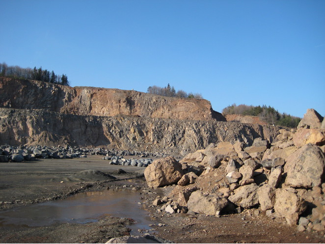


Sopron-Brennbergbánya lignite mines, Sopron, Győr-Moson-Sopron County, Hungary