| Locality | Latitude | Longitude | Distance | Bearing |
|---|
| Mílos Mine, Milos Island, Milos, South Aegean, Greece | 36° 40' 59" N | 24° 25' 0" E | 7.0km (4.4 miles) | |
| Cape Vani (Vani deposit), Milos Island, Milos, South Aegean, Greece | 36° 44' 57" N | 24° 21' 10" E | 7.2km (4.5 miles) | |
| Profitis Ilias Au deposit, Milos Island, Milos, South Aegean, Greece | 36° 40' 59" N | 24° 23' 59" E | 7.5km (4.6 miles) | |
| Galana Mine, Milos Island, Milos, South Aegean, Greece | 36° 42' 53" N | 24° 20' 31" E | 8.8km (5.5 miles) | |
| Fyriplaka volcano, Milos Island, Milos, South Aegean, Greece | 36° 40' 27" N | 24° 28' 55" E | 9.0km (5.6 miles) | |
| Fyriplaka mine, Milos Island, Milos, South Aegean, Greece | 36° 40' 6" N | 24° 28' 13" E | 9.2km (5.7 miles) | |
| Triades Mine, Milos Island, Milos, South Aegean, Greece | 36° 42' 19" N | 24° 20' 14" E | 9.6km (6.0 miles) | |
| Kalamavros, Milos Island, Milos, South Aegean, Greece | 36° 41' 14" N | 24° 20' 37" E | 10.2km (6.4 miles) | |
| Paliochori beach (Paleochori bay), Milos Island, Milos, South Aegean, Greece | 36° 40' 29" N | 24° 30' 59" E | 10.8km (6.7 miles) | |
| Chondro Vouno, Milos Island, Milos, South Aegean, Greece | 36° 41' 34" N | 24° 19' 51" E | 10.8km (6.7 miles) | |
| Thiorichia, Milos Island, Milos, South Aegean, Greece | 36° 41' 39" N | 24° 32' 36" E | 11.3km (7.0 miles) | |
| Firlingo, Milos Island, Milos, South Aegean, Greece | 36° 41' 0" N | 24° 32' 13" E | 11.5km (7.1 miles) | |
| South-east coast, Milos Island, Milos, South Aegean, Greece | 36° 41' 1" N | 24° 32' 15" E | 11.5km (7.2 miles) | |
| Prassa Quarry (Bentomine S.A. Quarry), Kimolos Island, Kimolos, Milos, South Aegean, Greece | 36° 49' 44" N | 24° 35' 52" E | 17.4km (10.8 miles) | |
| Plati Yialos, Sifnos, Milos, South Aegean, Greece | 36° 55' 45" N | 24° 43' 27" E | 33.0km (20.5 miles) | |
| Xeroxylon, Sifnos, Milos, South Aegean, Greece | 36° 58' 30" N | 24° 41' 21" E | 34.3km (21.3 miles) | |
| Frase pit, Kapsalos, Sifnos, Milos, South Aegean, Greece | 36° 58' 58" N | 24° 41' 3" E | 34.6km (21.5 miles) | |
| Bolioni pit, Kapsalos, Sifnos, Milos, South Aegean, Greece | 36° 58' 58" N | 24° 41' 3" E | 34.6km (21.5 miles) | |
| Tsingouras pit, Kapsalos, Sifnos, Milos, South Aegean, Greece | 36° 58' 58" N | 24° 41' 3" E | 34.6km (21.5 miles) | |
| Kapsalos, Sifnos, Milos, South Aegean, Greece | 36° 58' 58" N | 24° 41' 3" E | 34.6km (21.5 miles) | |
| Agios Ioannis, Sifnos, Milos, South Aegean, Greece | 36° 56' 33" N | 24° 44' 50" E | 35.5km (22.1 miles) | |
| Vorini, Sifnos, Milos, South Aegean, Greece | 37° 0' 7" N | 24° 42' 6" E | 37.3km (23.1 miles) | |
| Agios Silvestros, Sifnos, Milos, South Aegean, Greece | 37° 0' 18" N | 24° 42' 19" E | 37.7km (23.4 miles) | |
| Agios Sostis, Sifnos, Milos, South Aegean, Greece | 37° 0' 44" N | 24° 42' 43" E | 38.7km (24.0 miles) | |
| Koutalas, Serifos Island, Milos, South Aegean, Greece | 37° 8' 17" N | 24° 27' 17" E | 43.8km (27.2 miles) | |
| Megalo Livadi, Serifos Island, Milos, South Aegean, Greece | 37° 8' 26" N | 24° 25' 58" E | 44.0km (27.3 miles) | |
| Koundouros (Koundouro), Serifos Island, Milos, South Aegean, Greece | 37° 8' 41" N | 24° 25' 52" E | 44.5km (27.6 miles) | |
| Agia Triada (Aghia Triada), Serifos Island, Milos, South Aegean, Greece | 37° 8' 41" N | 24° 26' 41" E | 44.5km (27.6 miles) | |
| Mega Horio (Megalo Horio; Mega Xhorio; Mia Horio; Mega Khorio; Mega Korio), Serifos Island, Milos, South Aegean, Greece | 37° 8' 56" N | 24° 26' 49" E | 44.9km (27.9 miles) | |
| Livadi, Serifos Island, Milos, South Aegean, Greece | 37° 8' 40" N | 24° 31' 29" E | 45.2km (28.1 miles) | |

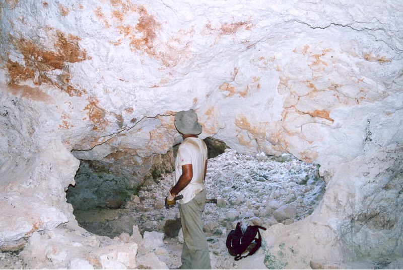

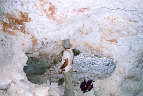
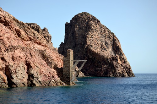


Cape Vani, Milos Island, Milos, South Aegean, Greece